The Esterel massif
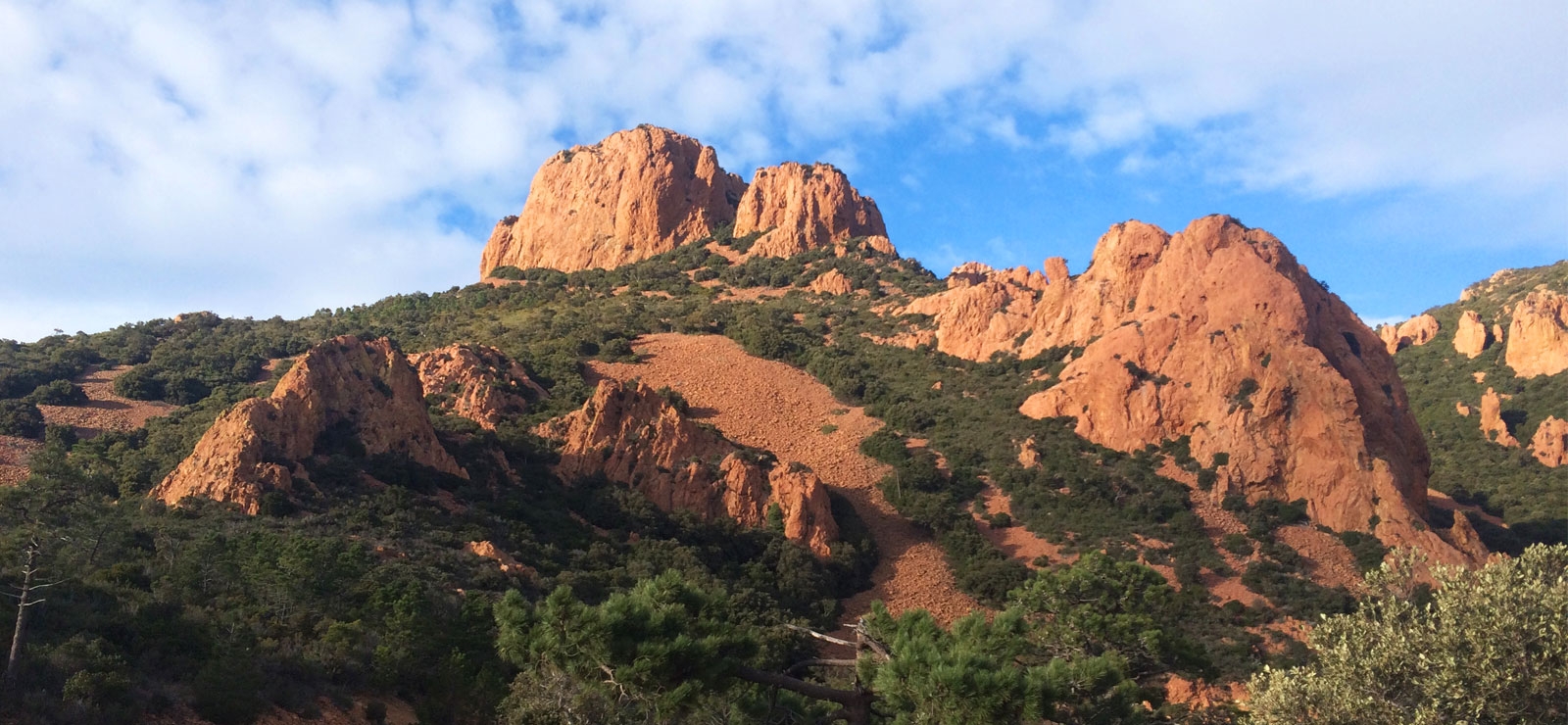
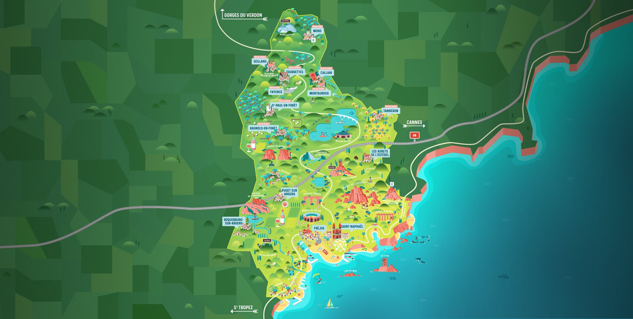
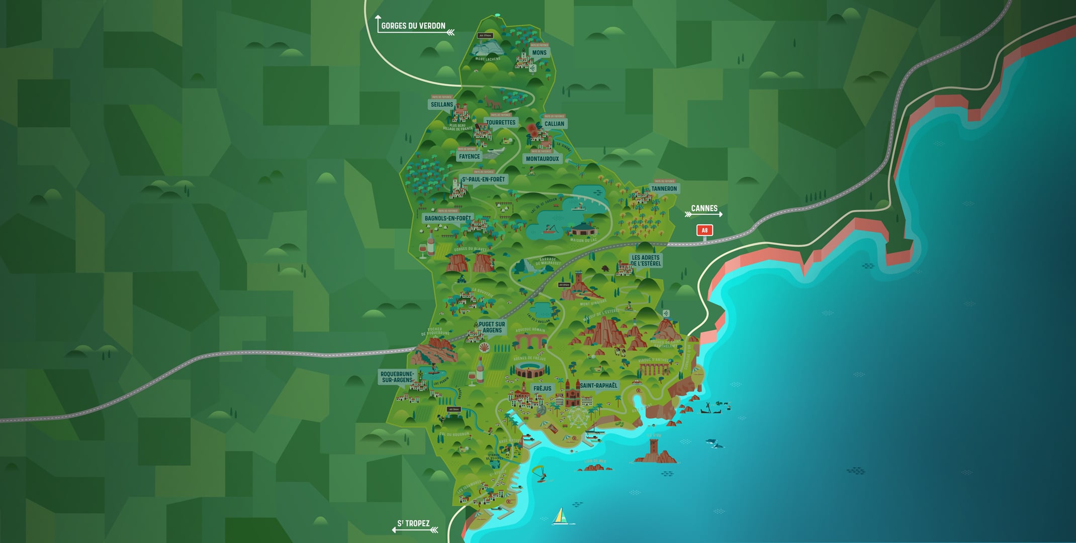
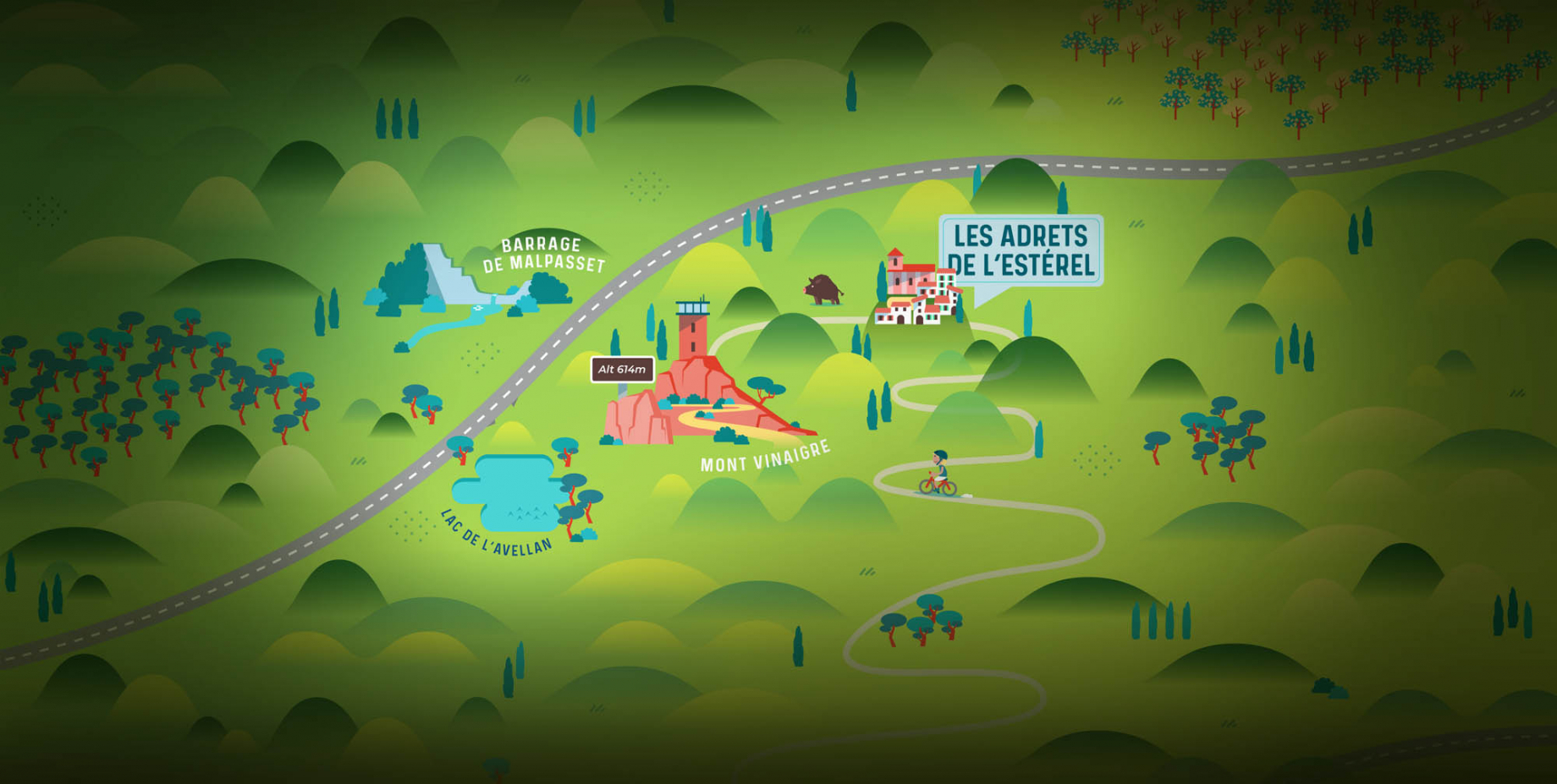
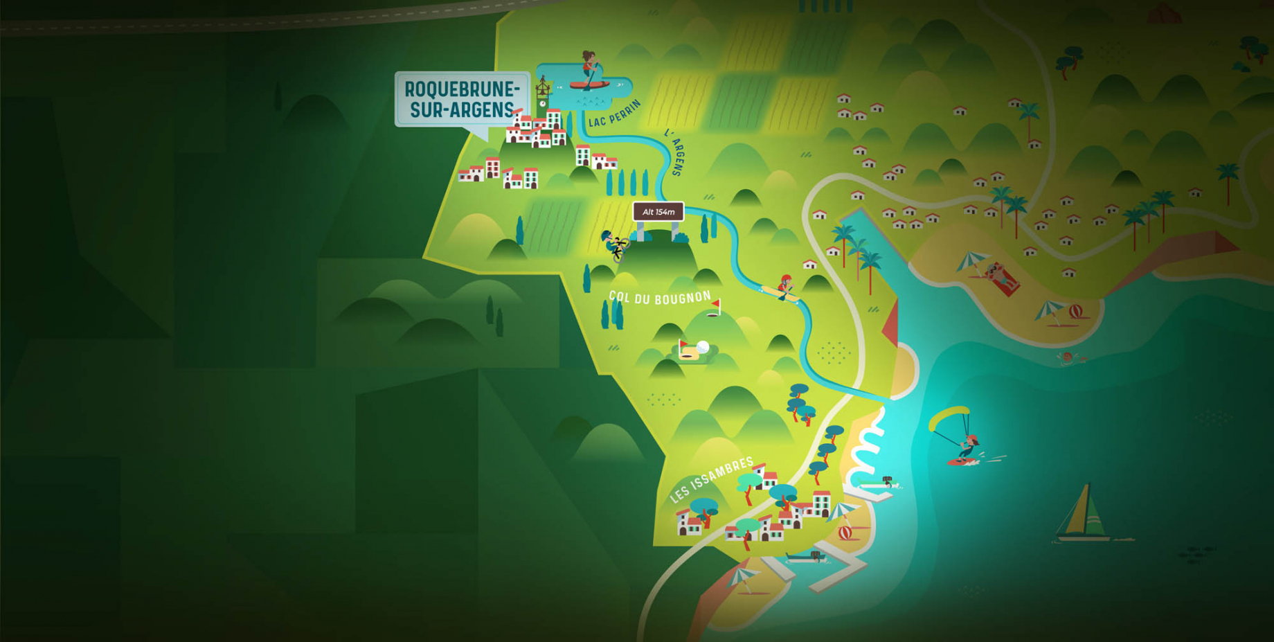
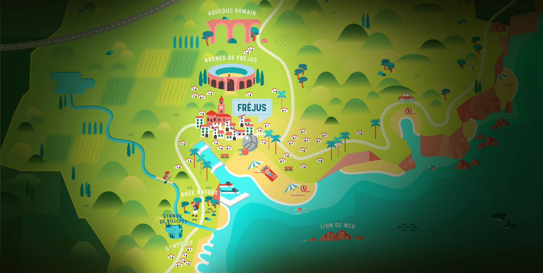
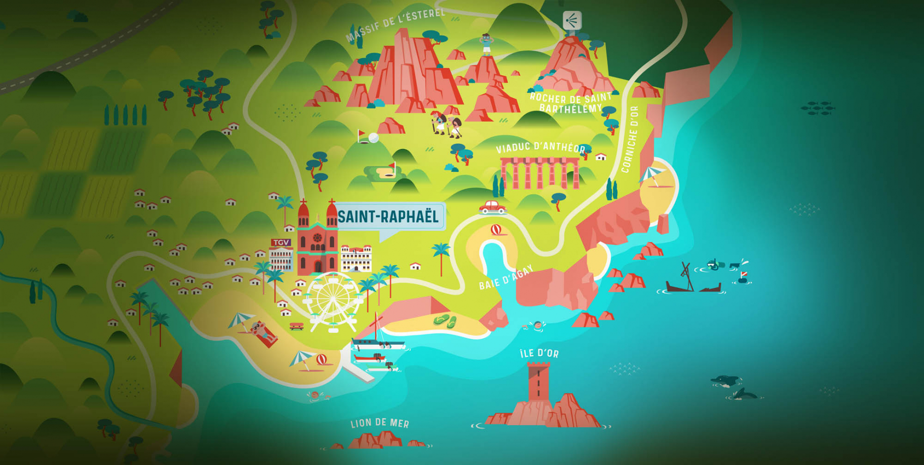
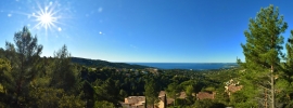
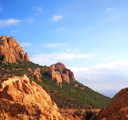
The Esterel Massif covers 32,000 hectares. It is located on the shores of the Mediterranean Sea more than 10 km wide and 15 km long. It covers the southeast of the Var, a small part of which is in the Alpes-Maritimes. The highest point is Mont Vinaigre with 614 metres and the most important lake is Lac de l'Avellant with 6.2 hectares. The Esterel Massif is separated from the Maures massif by the Argens Valley.
Discover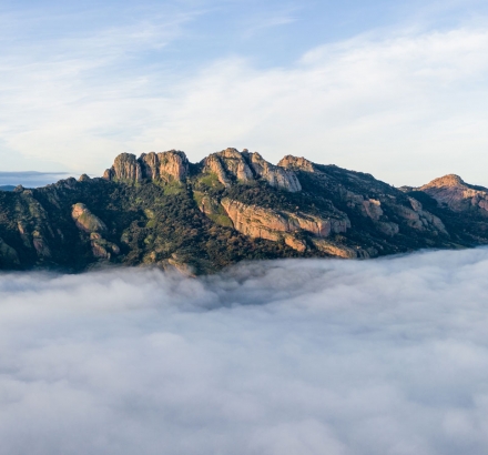
The Roquebrune rock
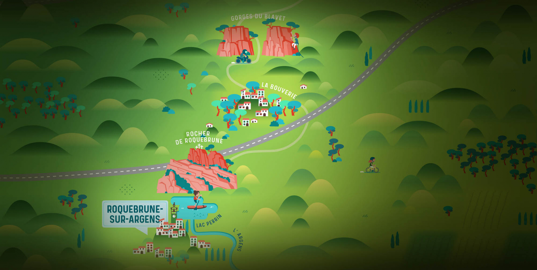
The Roquebrune rock, a classified site of national interest, is located in the communes of Roquebrune-sur-Argens and Le Muy. It stands between the Maures and Estérel massifs and is bordered by the Argens at its feet. Its highest point, at an altitude of 372m, offers a 360° view of the Argens valley, Fréjus, the Estérel and in the distance the Alps.
Discover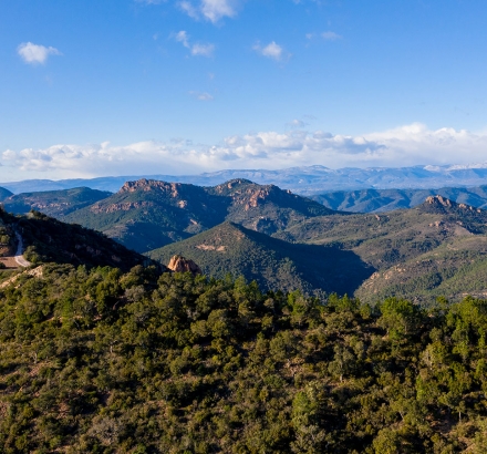
Mont-Vinaigre
Mont-Vinaigre, the highest point of the Esterel Massif, rises to an altitude of 614 m in the commune of Fréjus, and offers a breathtaking view of the bay of Cannes, Fréjus and Saint-Tropez in the distance.
Discover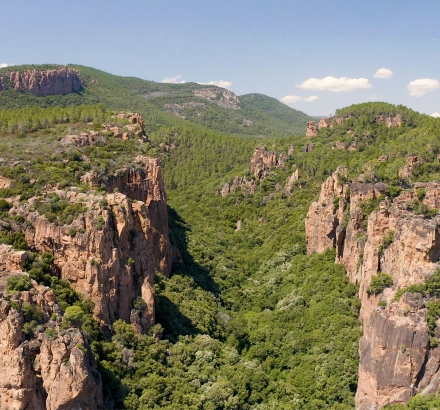
The Blavet Gorges
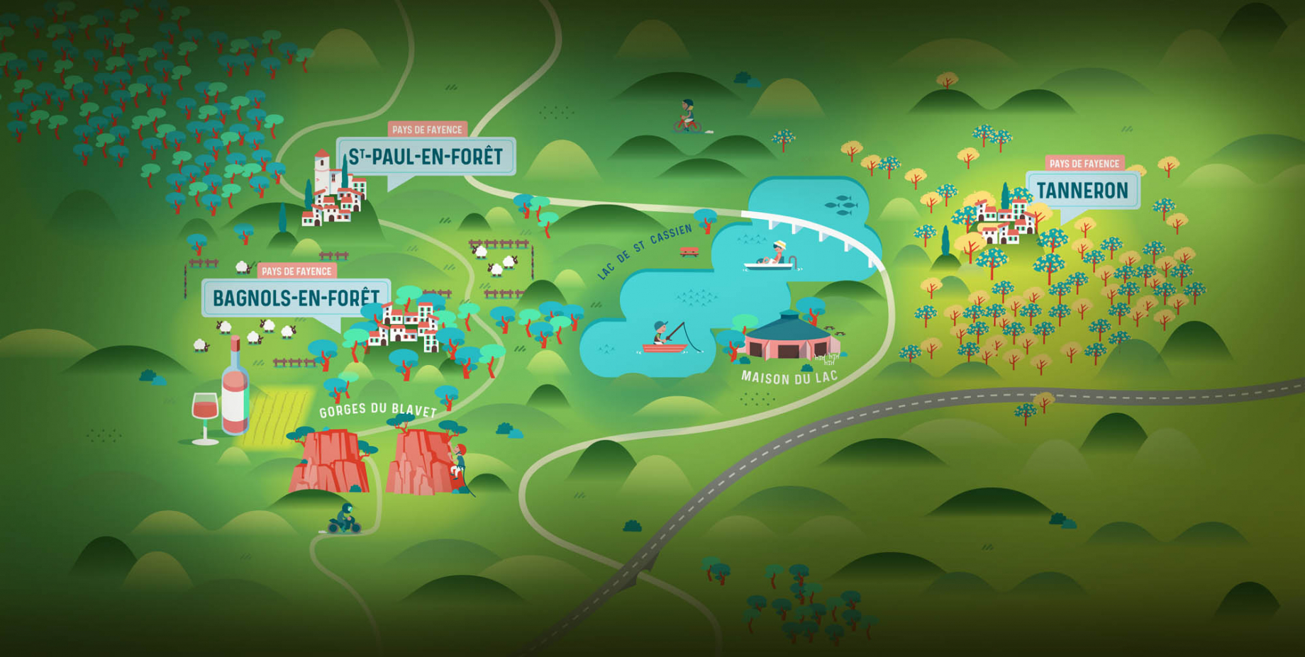
Between Bagnols-en-forêt and La Bouverie, the Gorges du Blavet are a rock formation dug over time into the volcanic rocks of the massif. Discover the Gorges du Blavet for hiking or even climbing!
Discover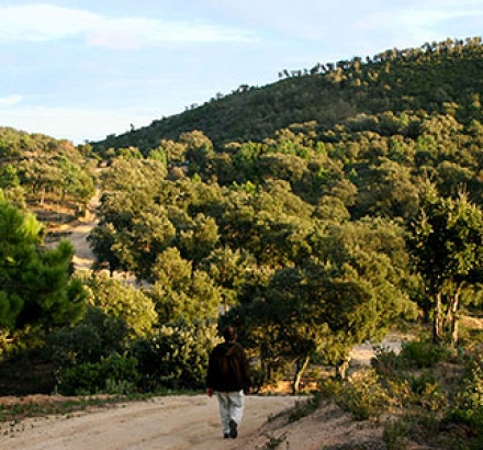
The Maures massif
The Maures massif is a small mountain range extended between Hyères and Fréjus over about sixty kilometres. The massif culminates at the Sauvette signal at 780 m. It is separated from the Esterel massif by the Argens plain. Due to its rugged terrain, the massif remains a difficult area to access and therefore not very densely populated.

