A stroll between land and sea
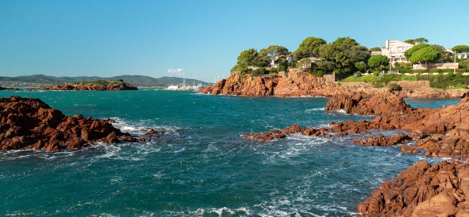
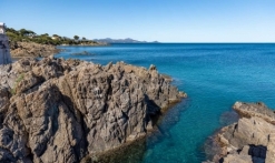
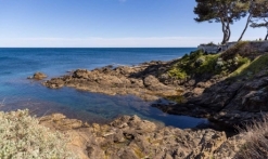
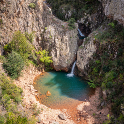
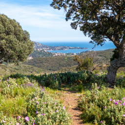
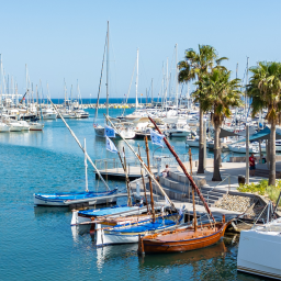
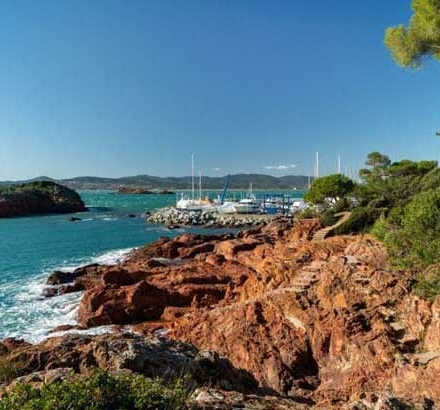
The coastal trail, also known as the customs path, stretches for more than 200 kilometres and offers walkers a spectacular adventure between land and sea. Created under the Second Empire to monitor the coastline, this spectacular route invites you to explore creeks and coves, as well as breathtaking beaches. The red rocks of the Estérel massif, umbrella pines silhouetted against crystal-clear waters... The setting is simply sublime, and takes on its full meaning out of season.
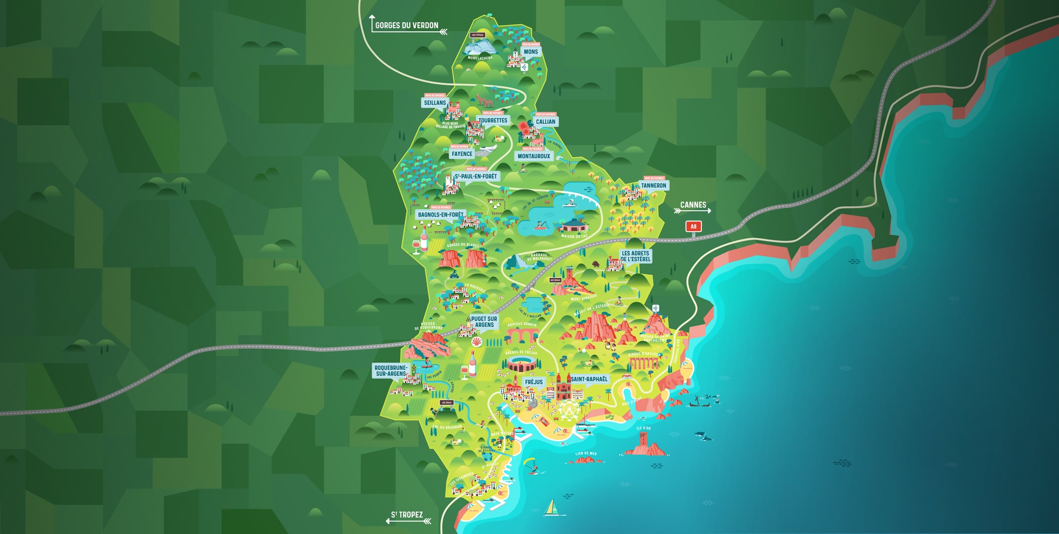
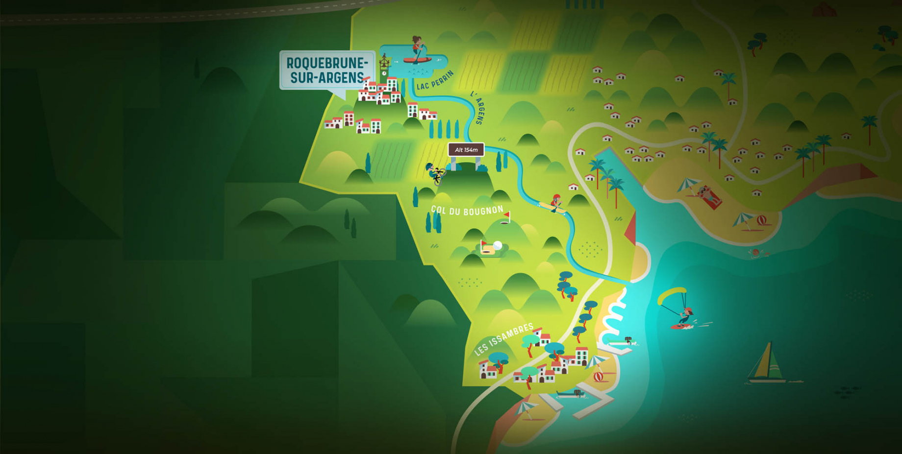
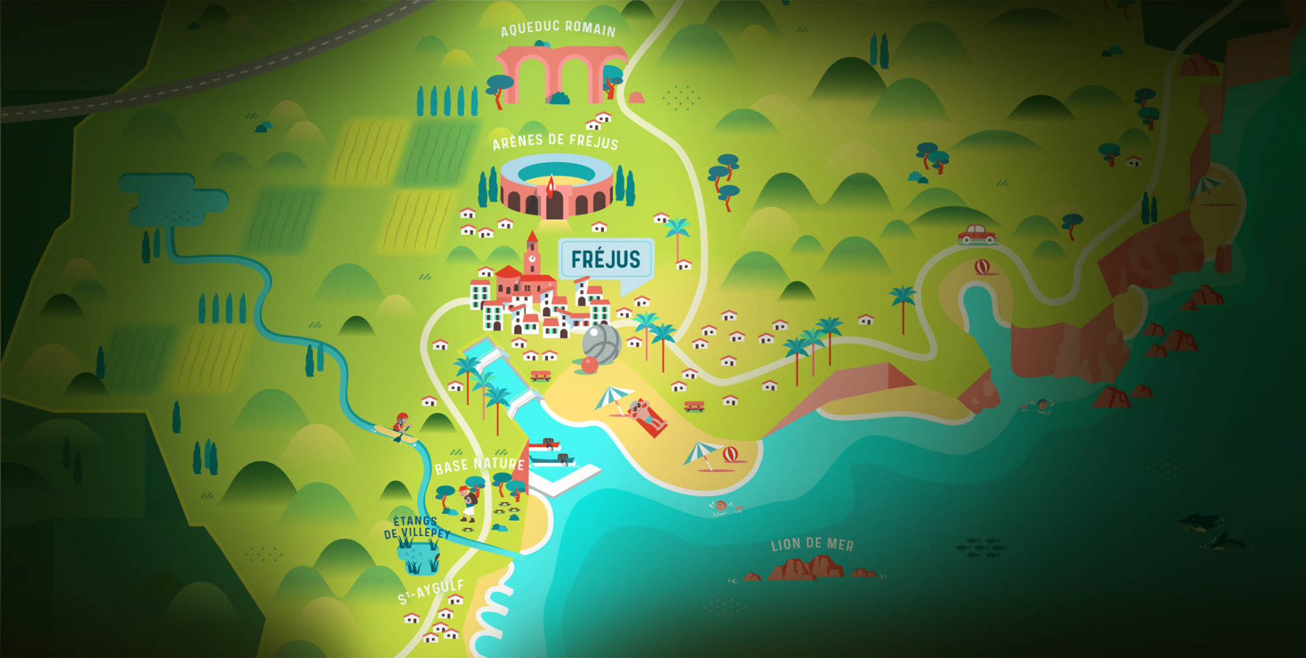
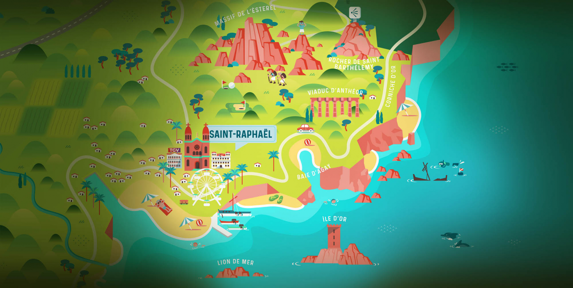
In the Estérel Côte d'Azur region, the trail is divided into three sections: at Les Issambres, Saint-Aygulf and Saint-Raphaël. Whether you're with the family or with friends, the trail promises plenty of surprises and a magnificent sea view!What's more, the road running alongside the sea offers clear orientation, reducing any risk of disorientation.
Before venturing out on the coastal path, it's important to note that a successful hike requires the right equipment and constant vigilance, especially on the sometimes slippery coastal rocks. So make sure you're well equipped and pay close attention to every step for a safe hiking experience.
1. The coastal trail from Les Issambres
How do I get there?
At Les Issambres, turn left onto Avenue de la Jetée. Park in the Arpillon car park at the end of the avenue. Start from Sain Peïre beach.
Reaching the starting point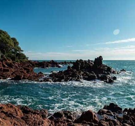
What's behind it?
This trail leads to the Gallo-Roman fishpond, a site comprising three historic basins. Used to catch and preserve fish for local markets and major festivities, this site is of particular importance in the region's history. Listed as a historic monument, the fishpond was once attached to a Roman villa located 1 kilometre to the north, in the Gaillarde valley.
Discover the trail2. The coastal path in Saint-Aygulf
How do I get there?
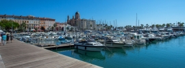
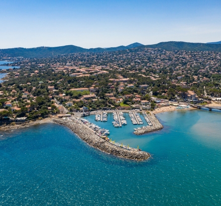
You leave from the Port de Saint-Aygulf. Follow the coastline along the customs path towards the Pointe de Saint-Aygulf and follow the signposted path.
Reaching the starting point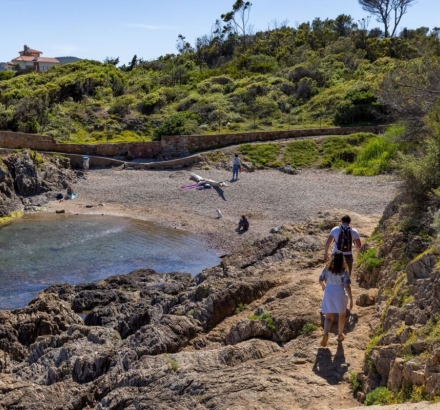
What's behind it?
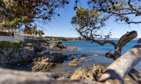
This trail takes you past breathtaking inlets and coves and offers sublime views over the Mediterranean.
Discover the trail3. The coastal path in Saint-Raphaël
How do I get there?
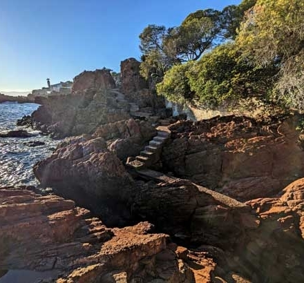
The walk starts from Port Santa Lucia, just outside Saint-Raphaël town centre, heading towards Agay. Follow the signposted path.
Reaching the starting point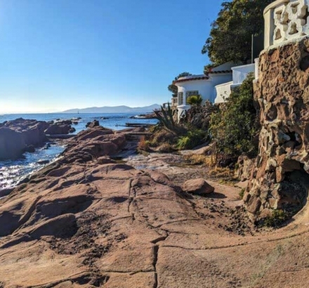
What's behind it?
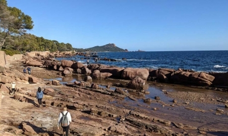
This trail offers spectacular views of the Lion de Mer, the Île d'Or and the Piton du Dramont. From the port of Santa Lucia, every step reveals the natural beauty of the area, while offering an immersion in the Mediterranean flora and fauna. Get ready for an unforgettable experience combining adventure and the discovery of the natural treasures of the Mediterranean.
Discover the trailMust-do
Have a drink
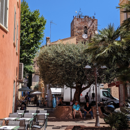
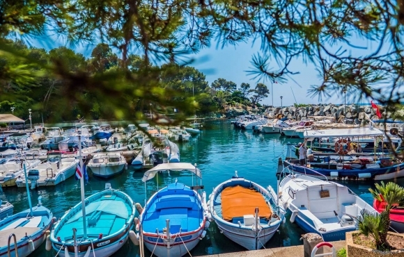
After walking the coastal path and savouring the breathtaking panoramas, a well-earned break at the Port du Poussaï restaurant in Dramont is a must.
Discover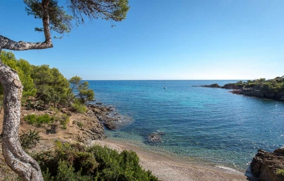
Have a picnic in a cove
For a memorable and unique experience, opt for a picnic in a cove after exploring the coastal path. It's the perfect opportunity to relax by the water while taking in the sublime views.
Discover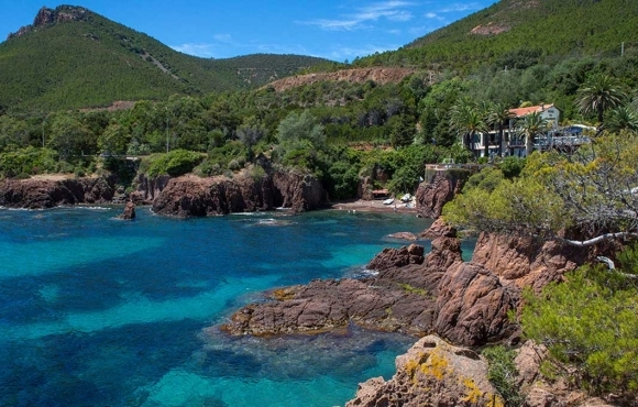
Take a dip in the creeks
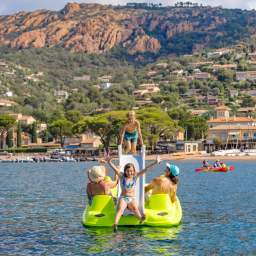
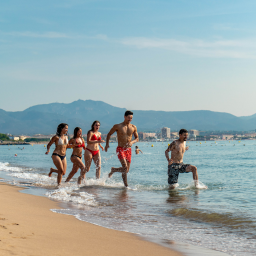
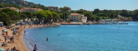
Treat yourself to a relaxing swim in the coves along the coast. Let yourself be carried away by the natural beauty and tranquillity of these breathtaking spots.
DiscoverThe coastal trail in pictures...
The coastal trail in video...
The coastal trail on Instagram
Post your best photos with the hashtag #VisitEsterel and follow our account @esterelcotedazur to be reposted!

