The history of the Malpasset dam
Why was the dam created ?
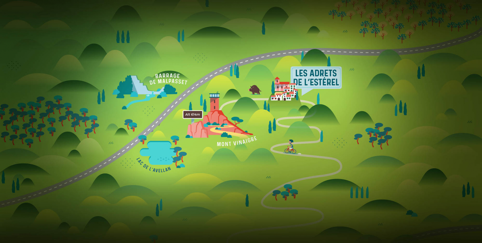
At the end of the 1939-45 war, the Var, wounded by the war and the German and Italian occupations, had to both rebuild and equip itself for its future. Discussed for more than a century, the construction of a dam was of vital interest in the department as a whole, especially in summer, because of the lack of water. The site chosen is the Reyran Valley, named after the river that crosses it. The Malpasset hydroelectric dam was to be used as a water reserve to irrigate the Argens plain.
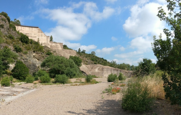
The characteristics of the dam
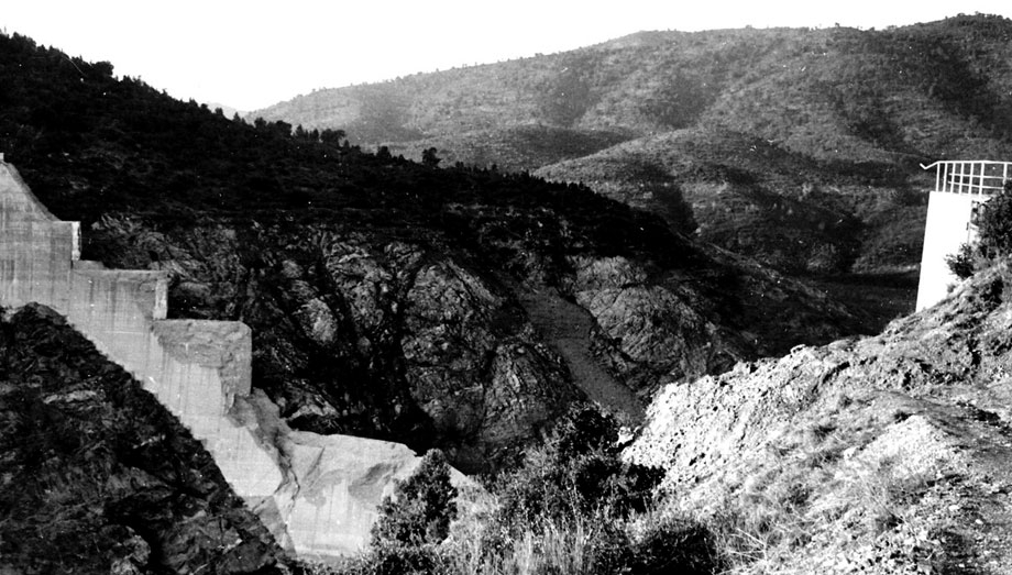
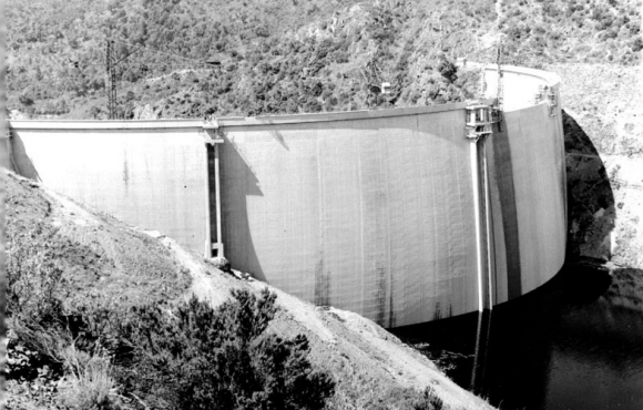
The Malpasset dam was built in the shape of a vault, which made it possible, thanks to a transfer of water pressure to the banks, to achieve a thinner wall thickness (6.78 metres at the base and 1.50 metres at the crest). These dimensions made it the narrowest dam in Europe.... The reduction in the thickness of the dam should not affect its strength, as the banks act as channels to accommodate water pressure.
However, the studies carried out to determine the robustness of the banks were based on a location 200 metres upstream of the area where the dam was actually built. This choice to move the construction area was made in order to have a larger storage of the dam water. Construction of the dam was started without additional geological studies and partial impoundment took place in 1954.
Did you know that ?
"Malpasset" means the place where one "passed badly" in reference to stagecoach attacks by highwaymen.
The sad night of December 2, 1959
At the end of 1959, the Côte d'Azur experienced many torrential rains. As a result, the water level rises very quickly in the dam, not allowing adequate controls to anticipate the consequences on its structure. The construction of the highway downstream of the dam prohibits opening the gates to release water. This could damage the piers of a bridge where the concrete had just been poured.
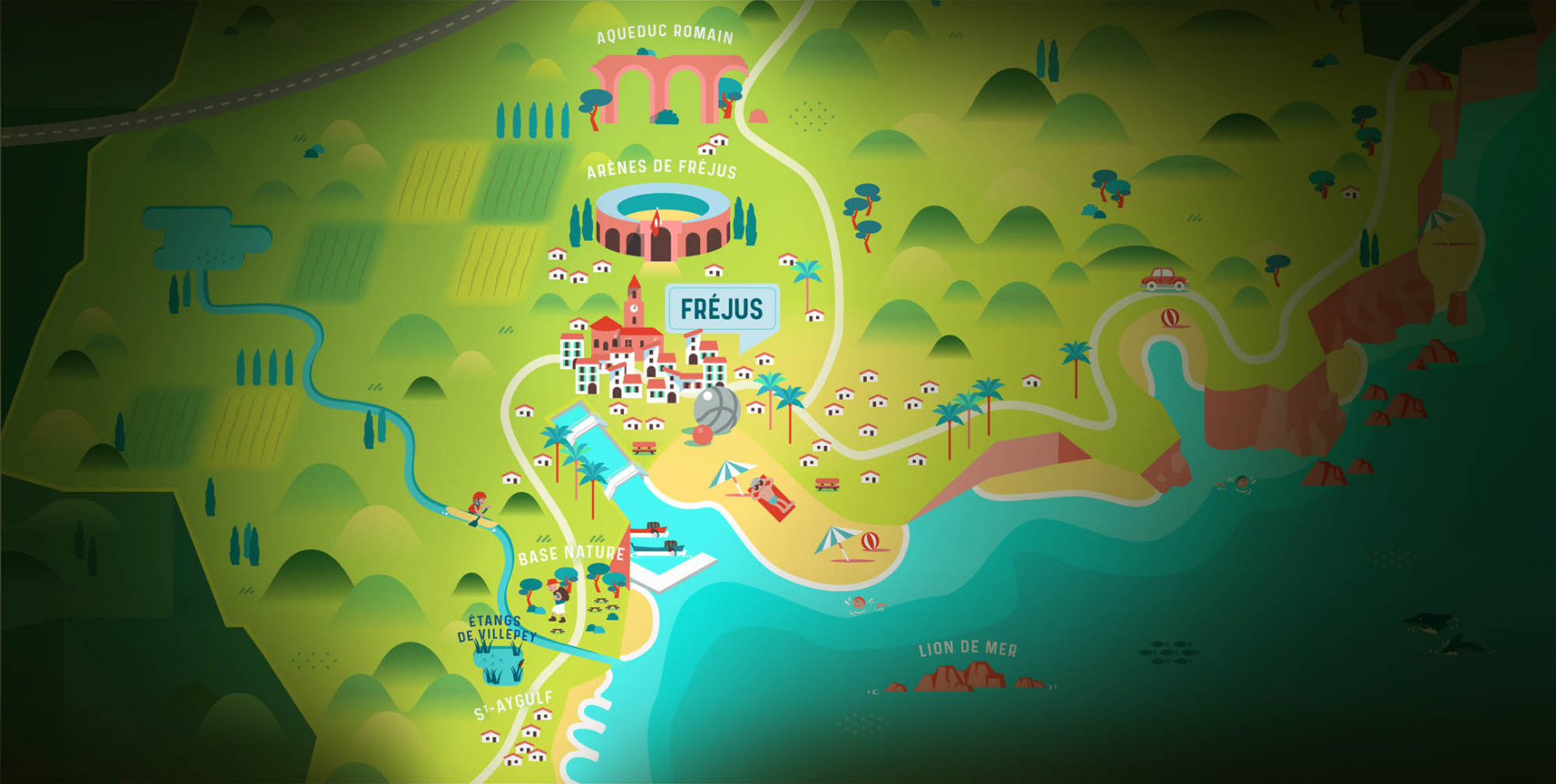
On December 2, the dam officials decided to let some water flow, as the maximum capacity of the structure had been reached. The vaulted shape no longer allows the water pressure to be transferred to the banks and at 6pm, the dam gives way : a 40-metre high wave falls with all its strength and sweeps the entire valley as far as the town of Fréjus in 20 minutes.
The ORSEC plan - the emergency organization plan - is immediately triggered. Military personnel from local bases and U.S. Army helicopters based in the area are trying to rescue the survivors, but also to remove the bodies of the victims.
General de Gaulle, President of the Republic, who came to the area a few days later, discovered a totally devastated area. The disaster toll was 423 victims and material damage amounted to 2 million francs.
Malpasset disaster : survey results
After several years of investigation, the experts rule out the possibility of a disruption due to an earthquake (a frequent phenomenon in the region) or explosives used in the construction of the motorway. The location of the dam and the quality of the rock, on the other hand, are in question. Studies have highlighted numerous faults in the rock on the left side of the dam, weakening its homogeneity. In 1967, the Court of Cassation concluded that no misconduct had been committed. The Malpasset disaster is thus placed under the sign of fatality.
Malpasset dam : access and hiking
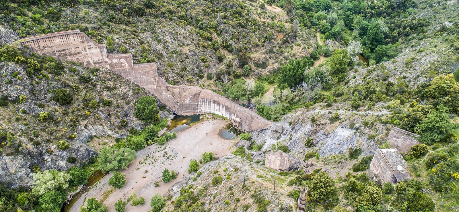
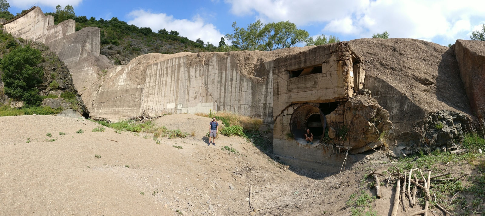
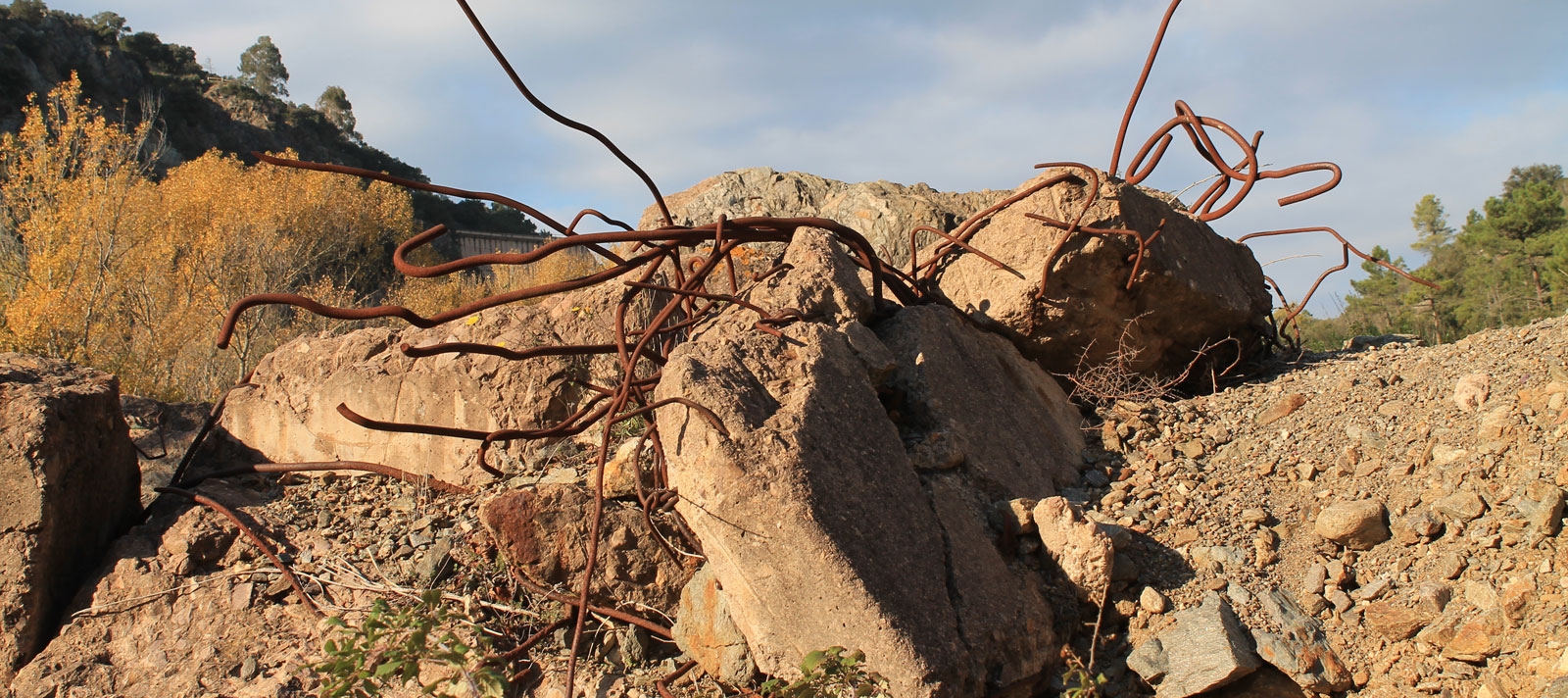
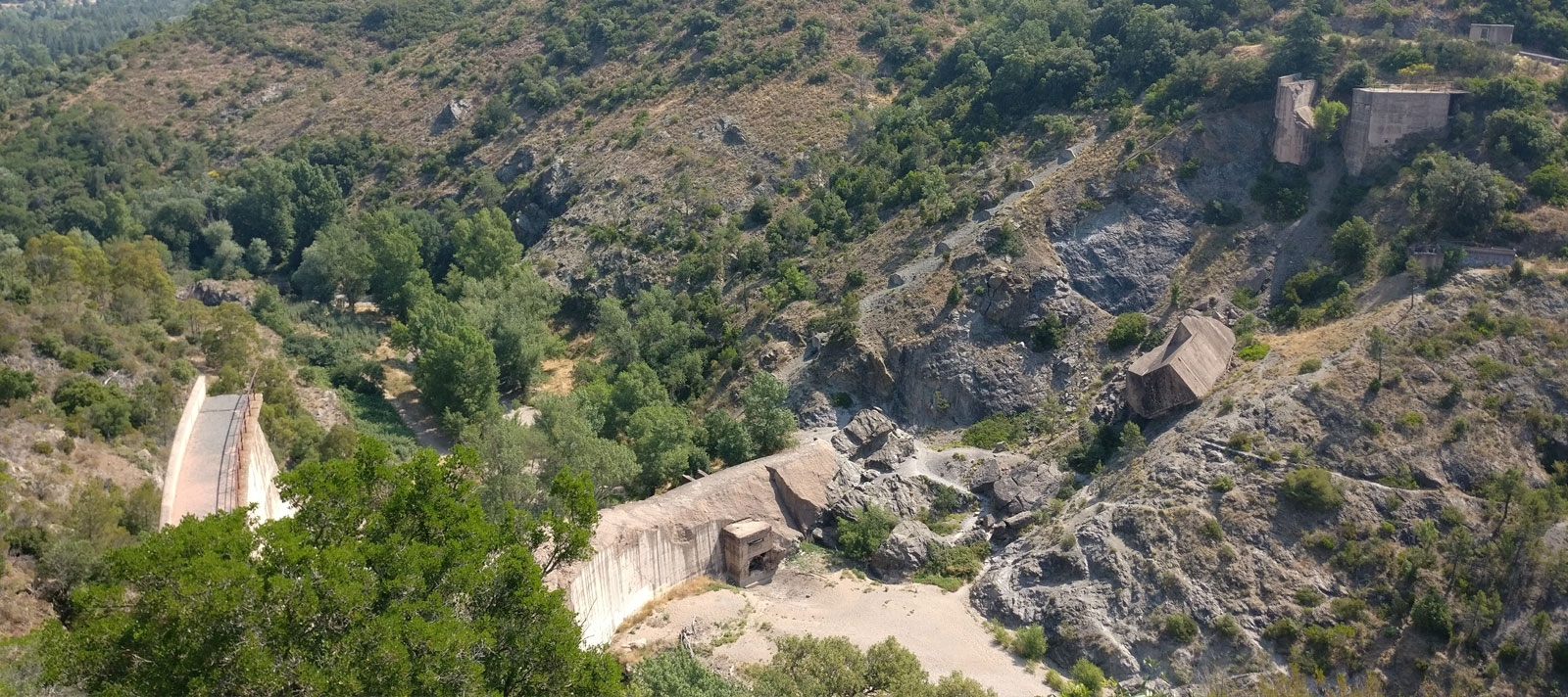
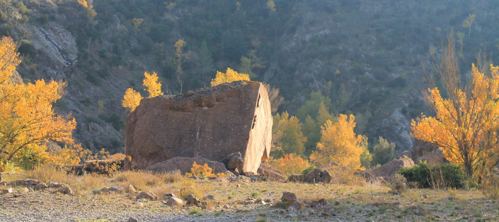
With free access, the Malpasset dam site in Fréjus is both a place for meditation and historical testimony. The path leading to the dam is dotted with impressive reinforced concrete blocks, scattered throughout the Reyran riverbed. These blocks of several tons, deposited by the force of the water several hundred meters downstream of the dam, testify to the violence of the disaster.
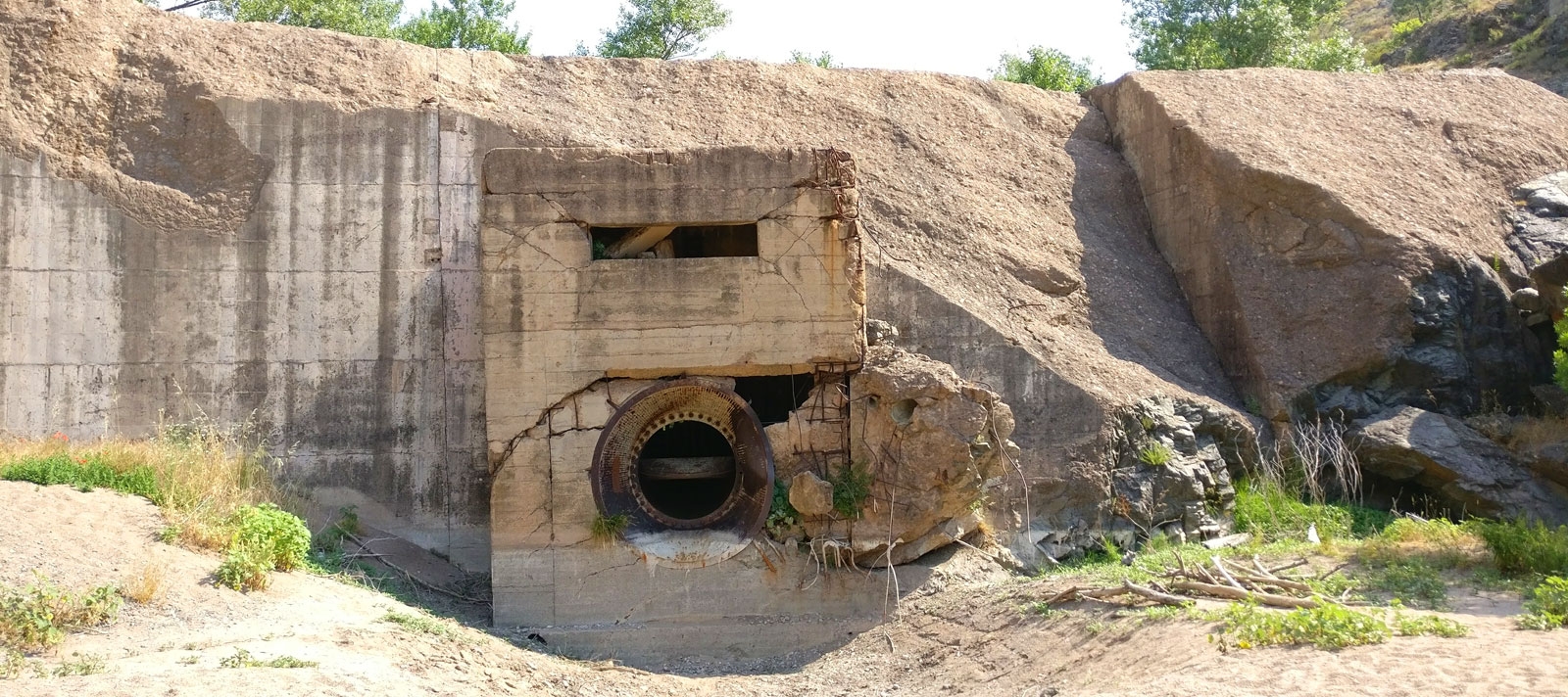
When you go to the scene, it is hard to imagine, in this peaceful landscape, the drama of that night. The remains of the dam are still visible, the giant breach in the heart of the dam testifies to the strength of the released torrent.
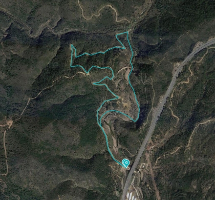
The circuit
Parking : From the roundabout of the A8 motorway in Fréjus, follow the direction "Malpasset".
Distance : 4.45 km
Duration : About 1h45
Height difference : 140 m
Découvrir la randonnée2019 : 60 years of the Malpasset disaster
| Evénements | Dates | Détails |
|---|---|---|
| Exhibition "Sur les traces de Malpasset" | From November 9 to January 4 | Local History Museum, entrance 3€ Opening hours from October to March: Tuesday to Saturday From 9:30 to 12:00 and from 14:00 to 16:30 Exceptional opening on Sundays 8, 15, 22 and 29 December. |
| Exhibition "Malpasset, 60 ans après" | From November 9 to December 20 | Villa Aurélienne, free admission. Open every day except Tuesday. From 10am to 12pm and from 2pm to 5pm. |
| Heritage Conferences | November 26th December 4, 5, 12 | 26/11: The Literary Year 1959 4/12 : History of dams 5/12: The rupture of the Malpasset dam 12/12 : The 1959 film year |
| Remembrance Walk | December 1st | 14h30 departure from the Malpasset car park to the dam site (contact: 06 72 54 54 30 78) *subject to weather conditions consult the page A.C.C Malpasset for confirmation* |
| Film "Reflet de Lune" | 1st décember | Cinema le Vox, free screening at 7pm |
| Commemoration Day | December 2nd | 9:00 am: Remembrance ceremony, military ceremony and wreath laying at the Gisant 10:30 am: Wreath laying at the Saint-Etienne cemetery 11:30 am: Mass at the Cathedral of Sainte-Léonce 16h30 : Laying of wreaths at the stele of the Stewardship 5pm: Wreath laying at Colonel Blazy's stele 6pm: Museum of Local History: inauguration of the Malpasset room and the exhibition "In Malpasset's Footsteps". 20H30: Opening of the doors of the cathedral 9pm: Beginning of the Tribute 9:13 pm: Tocsin 21h15 : Film-homage of La Cuisine aux Images 9:30 pm: Concert with Agnès Altoé, the Jacques-Melzer School of Music and the Ad Libitum ensemble 22h30 : Glass of friendship |

