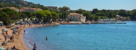
Calanques Saint-aygulf
@ Office de Tourisme de Fréjus
Water sports, Beach / Bathing Area
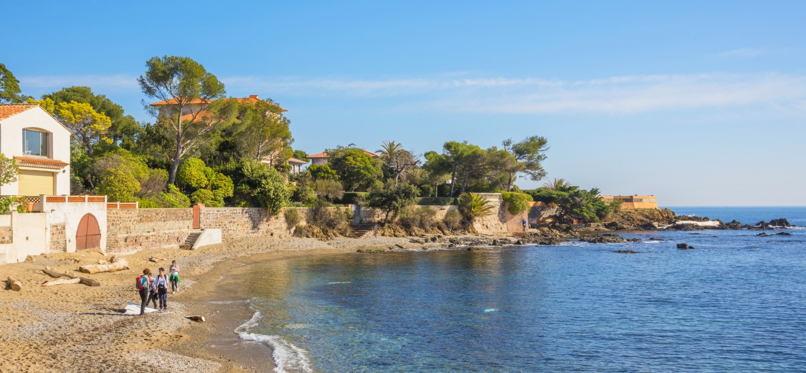
Plage du grand Boucharel

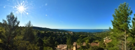
After a leafy stretch along the coastal path, you'll have to walk along the road and then up a flight of steps to pick up the path again a little further on, before arriving at Grand Boucharel beach.

Description

Attention aux plus petits, il y a une partie surplombant la mer sans rambarde à cet endroit.


Informations complémentaires

Plage, calanque, crique : plage
Type de plage : sable
Taille : grande
Signalisation : visible
Accessibilité : facile Enfants
Accés par le sentier : difficile
Ambiance : calme, intimiste
Pour qui ? : famille / entre amis
A découvrir : La minuscule saladelle des rochers, fleurie en été (protégée). L'Anthyllis barba-Jovis, un superbe buisson à feuillage cendré (protégé). Les petits lézards qui se chauffent au soleil sur la roche. Avec un masque, le fond sous-marin et l'herbier de posidonies. Les oursins, les holothuries (concombre de mer) et les poissons de roche, tous plus colorés les uns que les autres.
Balisage et borne d'appel : Depuis le printemps 2002, les calanques de Saint-Aygulf sont balisées. La bande des 300 mètres n’est donc plus accessible aux VNM (Véhicules Nautiques à Moteur). En revanche, le transit des bateaux y est autorisé à une vitesse inférieure à cinq noeuds. Afin de renforcer la sécurité, dix bornes d’appel d’urgence, permettant une mise en relation directe avec la caserne des pompiers, sont réparties sur l’ensemble des calanques.
Note environnement : En été, plus de 10 personnes entretiennent le sentier du littoral et les calanques. Le tonnage des déchets collectés est de 1,2 tonnes par jour ! Cette information doit vous inciter à UTILISER LES POUBELLES, et surtout à EMPLOYER LE MOINS POSSIBLE D’EMBALLAGES ET DE BOUTEILLES EN MATIÈRE PLASTIQUE POUR VOS PIQUE-NIQUES. Certaines plantes dites « endémiques » ne vivent exclusivement, dans le monde entier, que sur quelques points de notre littoral, et leur survie en tant qu’espèces est précaire. ABSTENEZ-VOUS DE TOUTE CUEILLETTE OU, PIRE, DE TOUTS ARRACHIS.

Further information

  • flag-FRFrench
  • On-site activities : 
    Water sports
    Beach / Bathing Area
Estérel Côte d'Azur depending on your mood
Weather
Sea side
Today
-- °C Wind : -- km/h
Tomorrow
-- °C Wind : -- km/h
After tomorrow
-- °C Wind : -- km/h
Hinterland
Today
-- °C Wind : -- km/h
Tomorrow
-- °C Wind : -- km/h
After tomorrow
-- °C Wind : -- km/h
Water temperature
Fréjus -- °C
Saint-Raphaël -- °C
Les Issambres -- °C
+
-

Clic on areas to zoom in

Clear map
Dark map
Map zone 1
Map zone 2
Map zone 3
Map zone 4
Map zone 5
Map zone 7
Map zone 6
Map zone 8
pays de fayence - nord

Fayence area

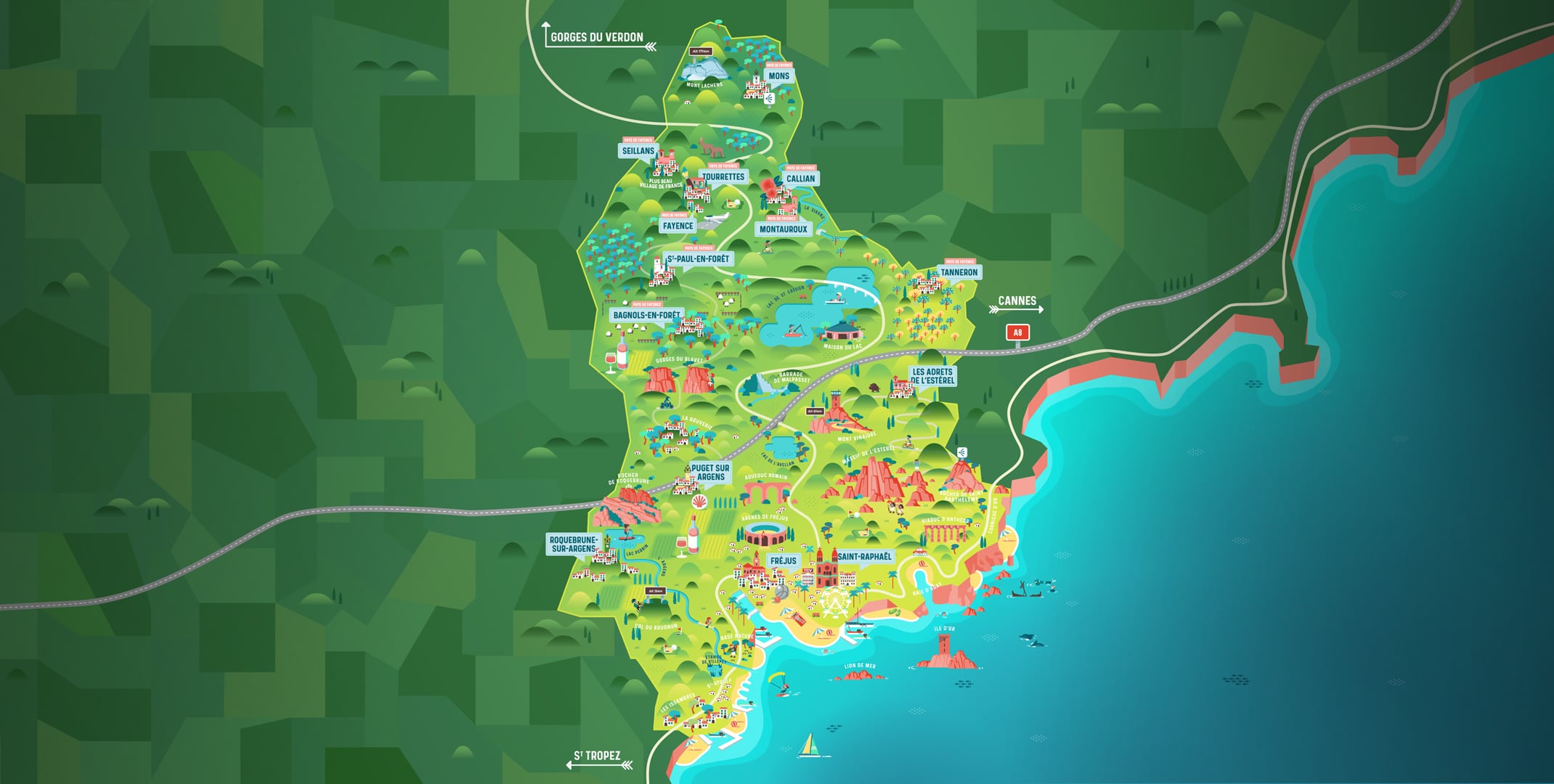
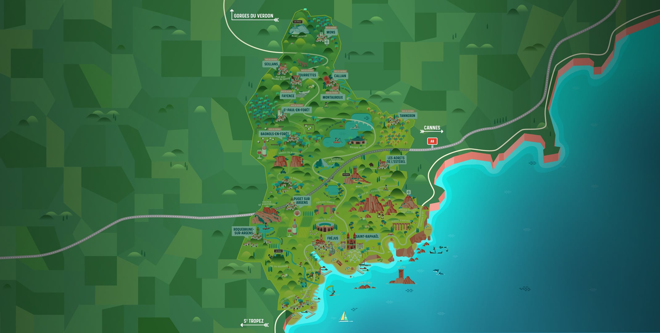
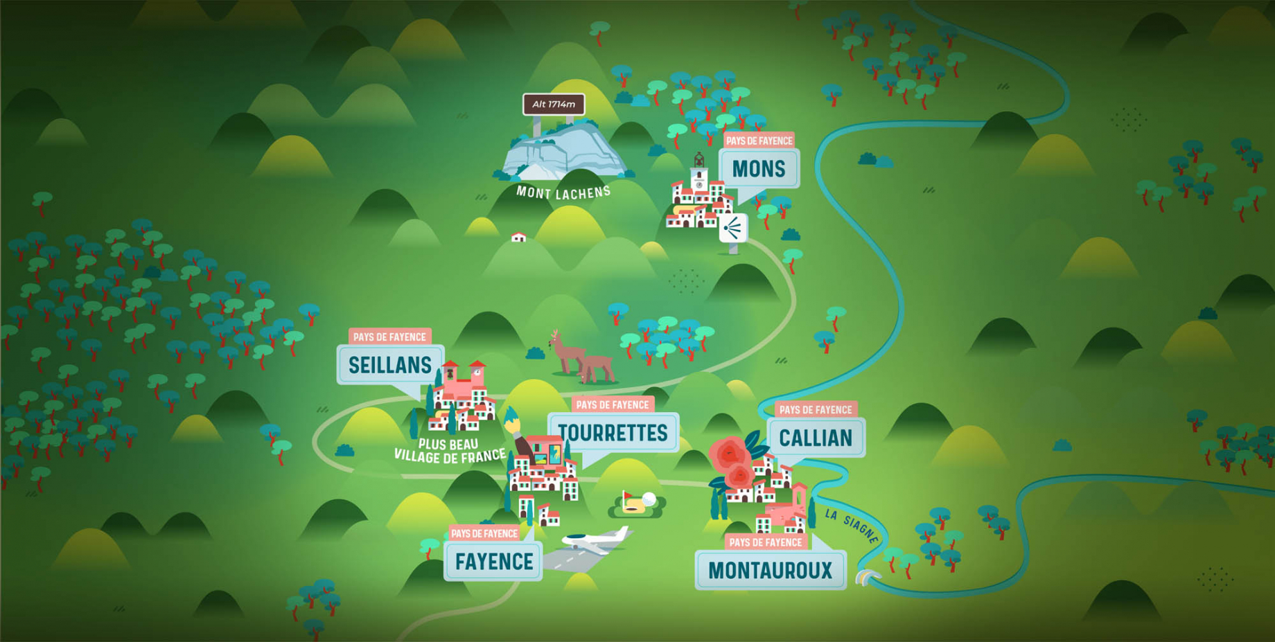
The Pays de Fayence (Fayence district) has many great provencal villages. All of them have a particularity such as the view from Mons or the artistic streets of Tourrettes. Do no forget to stop in Seillans that has the label of "Most beautiful village in France"

Go back to map
pays de fayence - sud

Fayence area

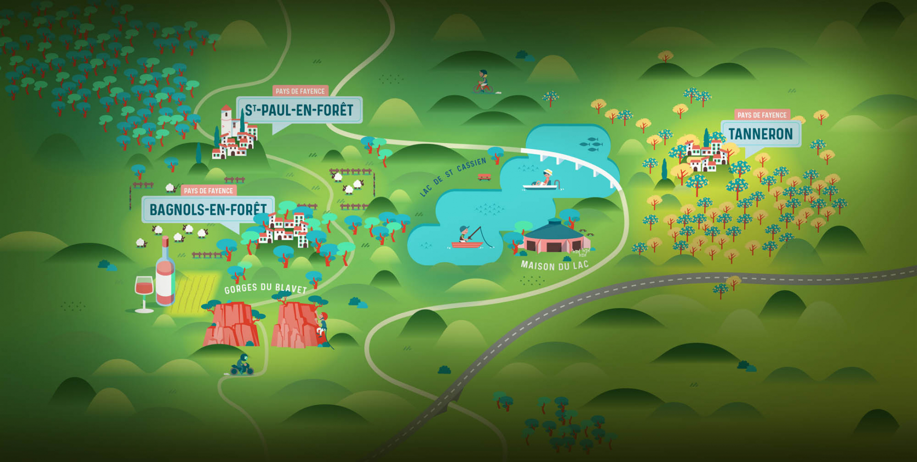
North of the A8 motorway, you will find the Pays de Fayence. Saint-Cassien lake, a real oasis of freshness in the Var, awaits you! Take a break at the Lake House before visiting the villages of Bagnols-en-Forêt, St-Paul-en-Forêt or Tanneron.

Go back to map
roquebrune sur argens - la bouverie

Roquebrune-sur-Argens

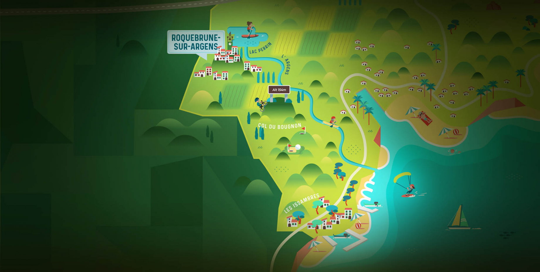
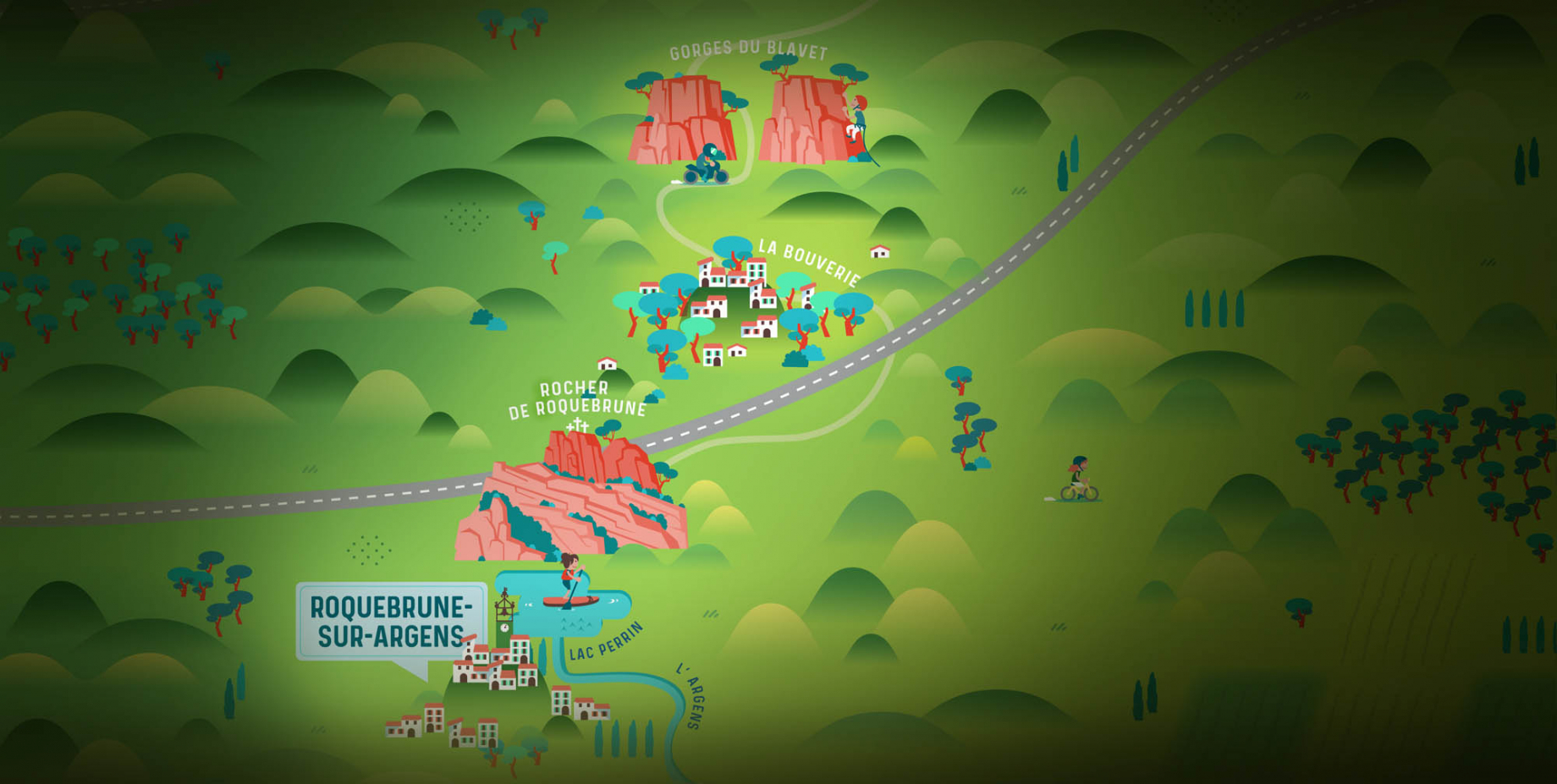
The city of Roquebrune-sur-Argens is the most westerly of the destination. It includes three districts: La Bouverie, at the foot of Gorges du Blavet; The village, overlooked by its magnificent rock, and Les Issambres, with its nautical activities by the sea.

Go back to map
les adrets de l'esterel

Les Adrets de l'Estérel

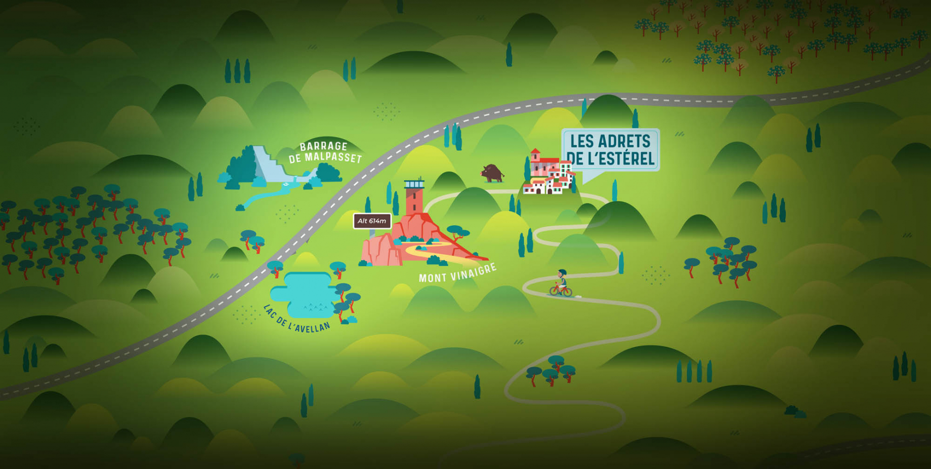
Les Adrets de l'Estérel is a small town located at the extreme southeastern Var. Bordering the Maritimes Alpes, it is composed of large green forests. The town overlooks the bay of Cannes and has an exceptional view on the Lérins Islands and the Corniche de l'Estérel.

Go back to map
village de puget sur argens

Puget sur Argens

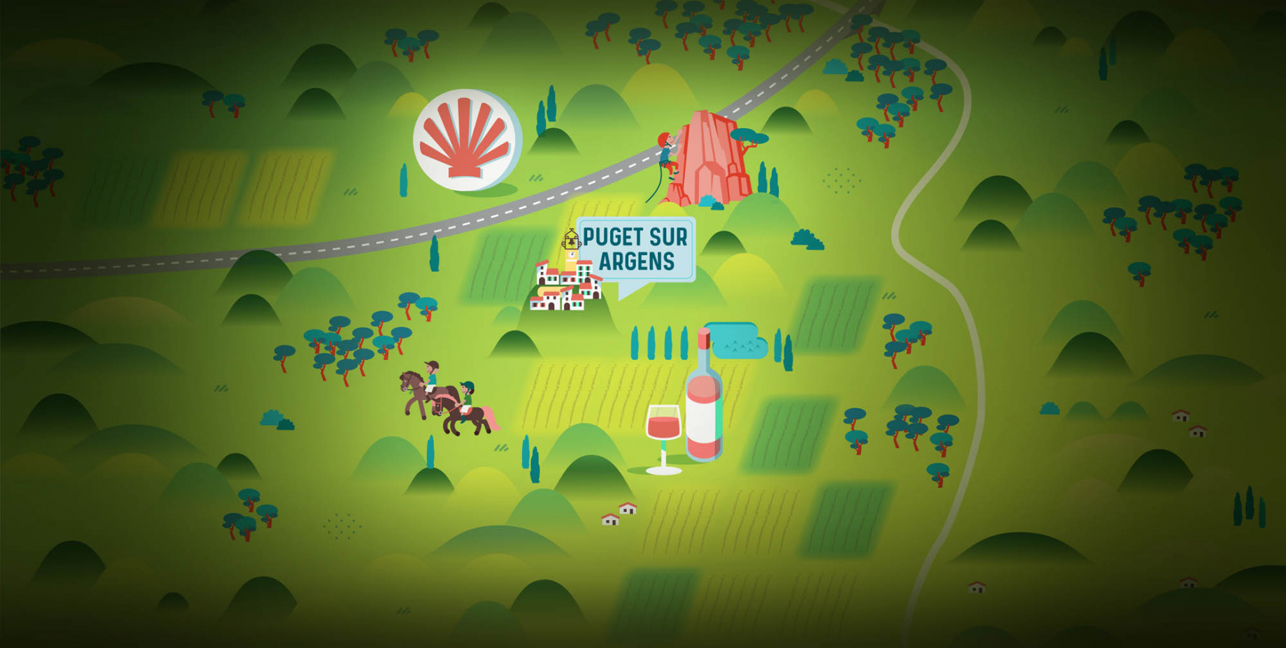
Puget sur Argens is a small village located in the middle of many wineries. Its commercial area, near the village, includes many shopping center. North of the village, the Bois du Defens give rise to several walks.

Go back to map
roquebrune-sur-argens - les issambres

Les Issambres

Welcome to Les Issambres, the district of Roquebrune-sur-Argens located on the coast. True paradise with its 8 km of beaches and creeks, this family seaside resort, already frequented at the time by the Romans, is located between the Gulf of Saint-Tropez and Fréjus-Saint Raphaël.

Go back to map
ville de frejus - saint-aygulf

Fréjus

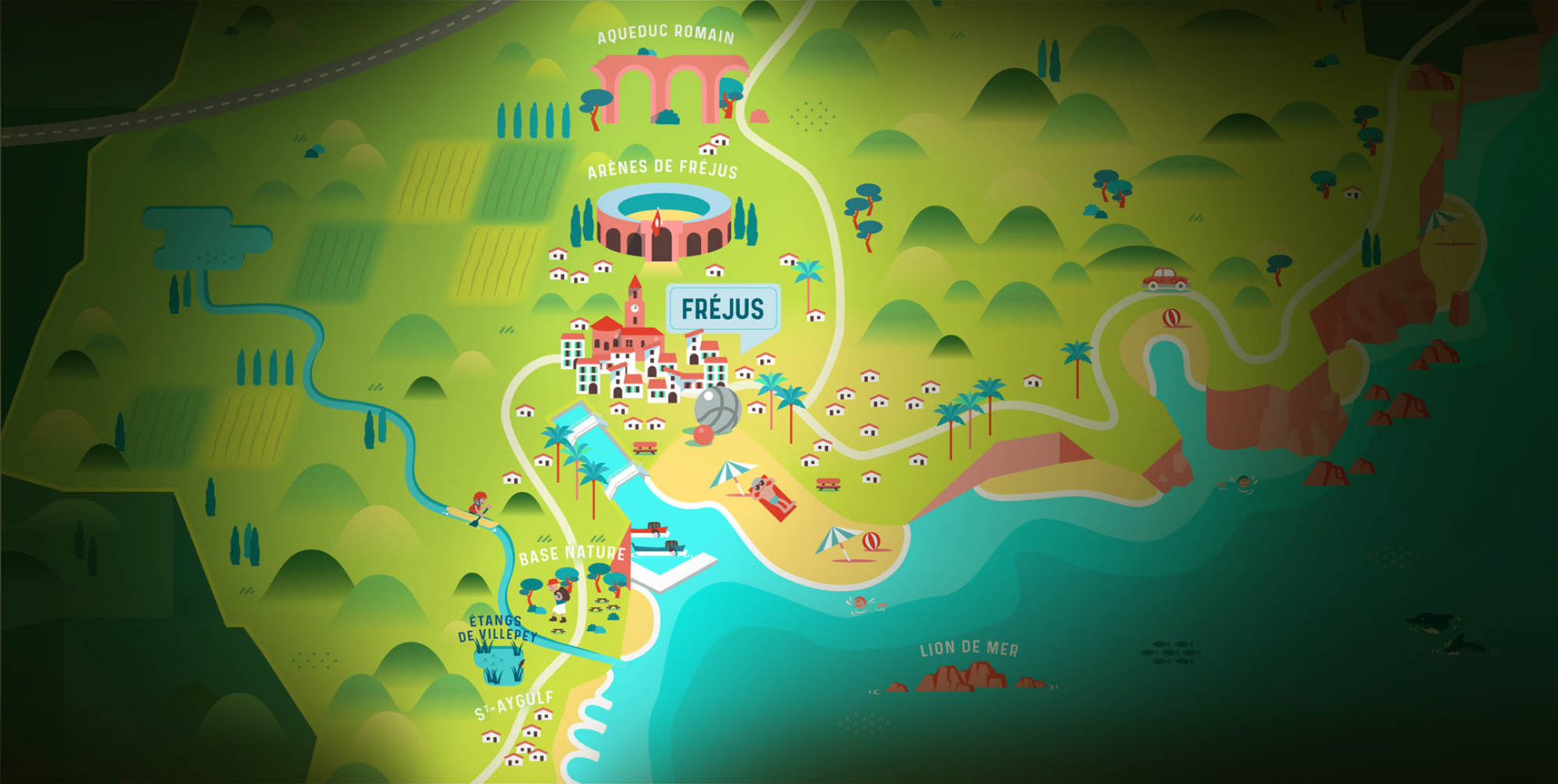
Frejus, located halfway between Cannes and Saint-Tropez, is at the heart of the Côte d'Azur. Based on a sandstone buttress of the Esterel massif, the town dominates the valleys of Argens and Reyran. Frejus has the appearance of a small Provencal town whose new districts extend to the sea.

Go back to map
saint-raphael - massif de l'esterel

Saint-Raphaël

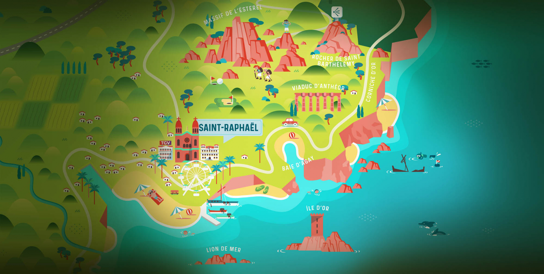
65km from Nice Côte d'Azur International Airport, Saint-Raphaël is located between Cannes and Saint-Tropez. This seaside resort on the Mediterranean coast is at the bottom of the great Esterel mountains. Saint Raphael, whose city center is by the sea, is divided into different neighborhoods that have all their characteristics and their personalities.

Go back to map
Fayence areaFayence areaRoquebrune-sur-ArgensLes Adrets de l'EstérelPuget sur ArgensLes IssambresFréjusSaint-Raphaël
Webcams
Subscribe to our newsletter