Description
> ACCESS
Drive along the seafront towards Agay. At the Agay roundabout, follow the signs for "Massif de l'Estérel". Continue for 1 km and turn right onto the small road signposted "Massif de l'Estérel". Then follow the signs for "Pic de l'Ours" for 120 km and park at the Col Notre Dame car park (cul de sac).
> STARTING POINT
GPS coordinates: 43.480487, 6.911751
Col de Notre-Dame car park
> ROUTE
Next to the sign describing the trails, a Pic de l'Ours sign indicates the path to take.
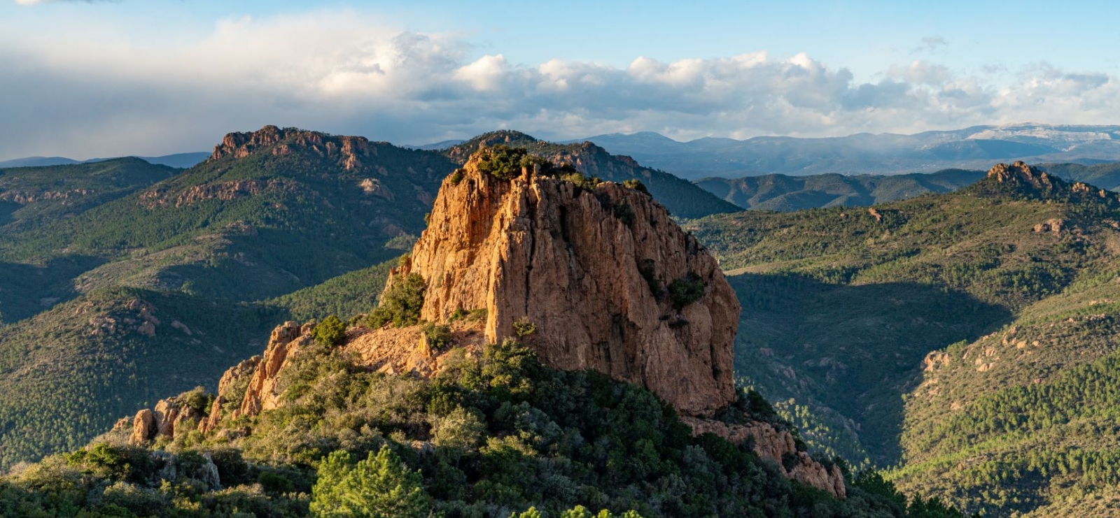
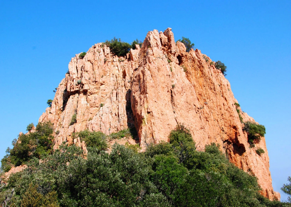
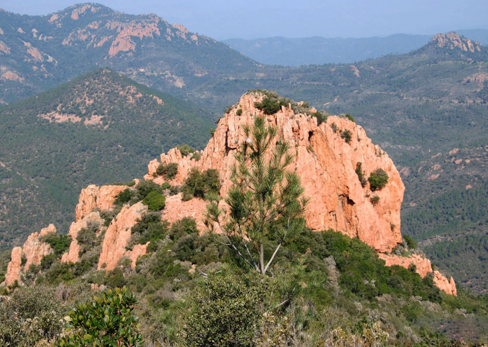
Follow the path on the right towards the Dent de l'Ours. Admire this impressive rock and the view to its left, as well as the land art installation of cairns beneath its base.
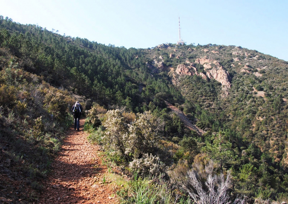
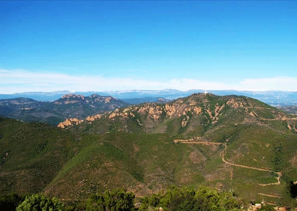
Retrace your steps 20 metres to take the path uphill to the foot of the Pic de l'Ours antenna. This trail offers magnificent views of the Esterel, the Haut Var and the Mercantour.
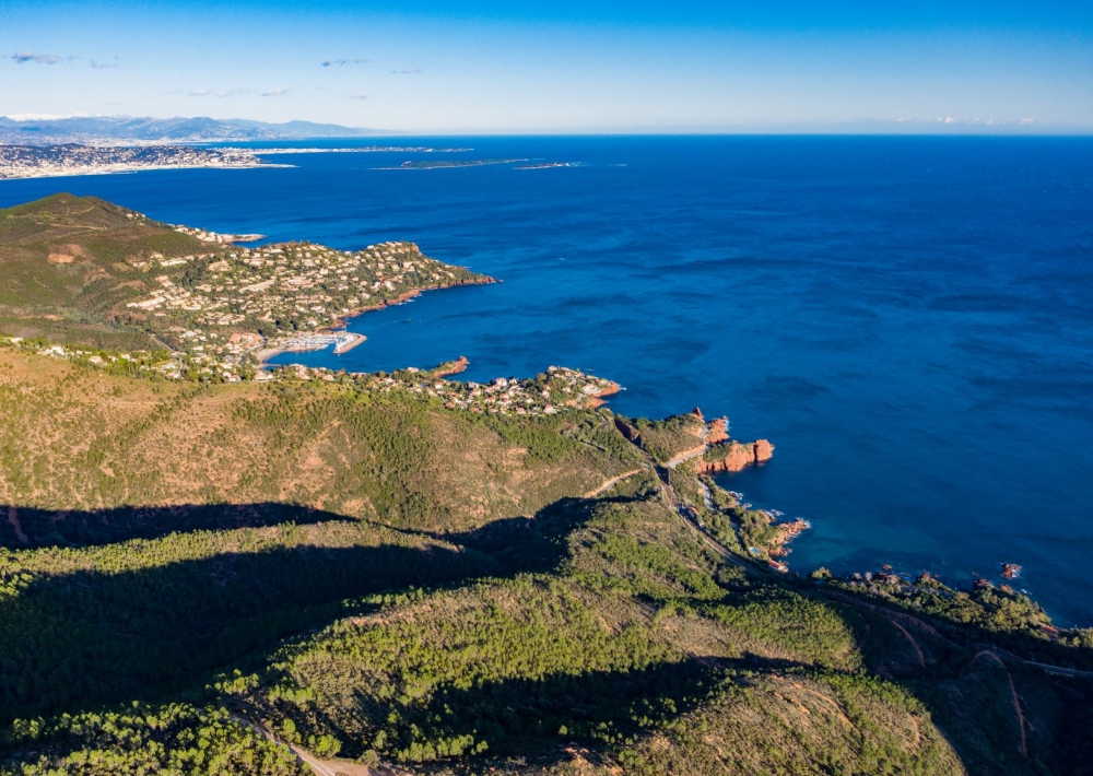
The path joins the access road to the Pic de l'Ours. Walk about 20 metres along the road before taking the first path on the left. Take time to admire the bay of Cannes and Saint Raphaël!
This fairly steep and sometimes stony path leads back to the starting point. (if you want to avoid the steep descent, take the tarmac road which also takes you back to the start in an additional 20 minutes)


