Description
> ACCESS
There are two departure points:
At the western end of the course, at the Port de Santa Lucia (near the shipyard)
OR
At the eastern end at Camp Long Beach (Dramont)
Parking is available at both sites.
>STARTING POINT
GPS coordinates: 43.409645, 6.783059
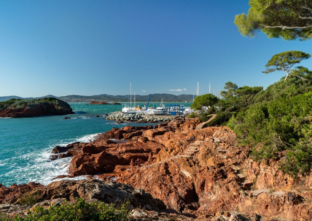
Port of Santa Lucia
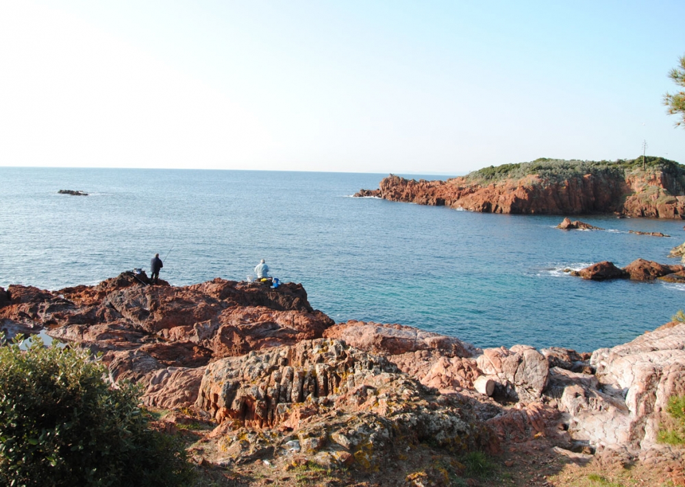
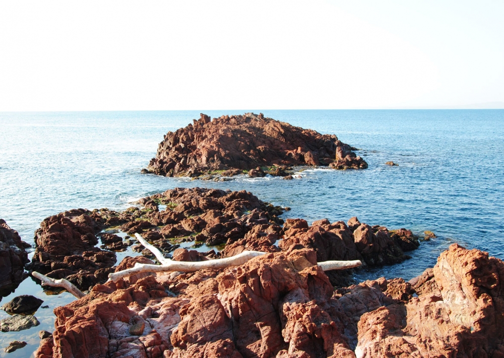
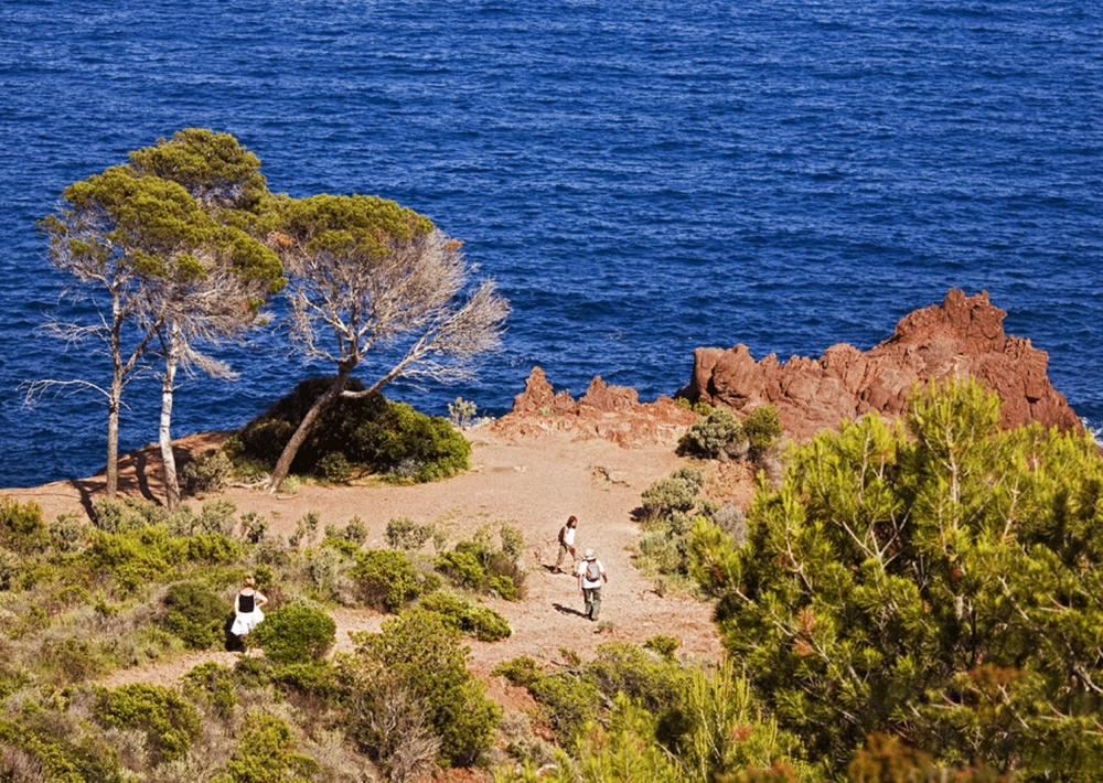
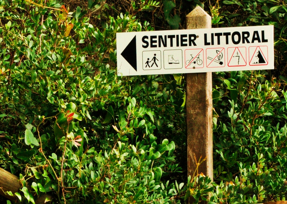
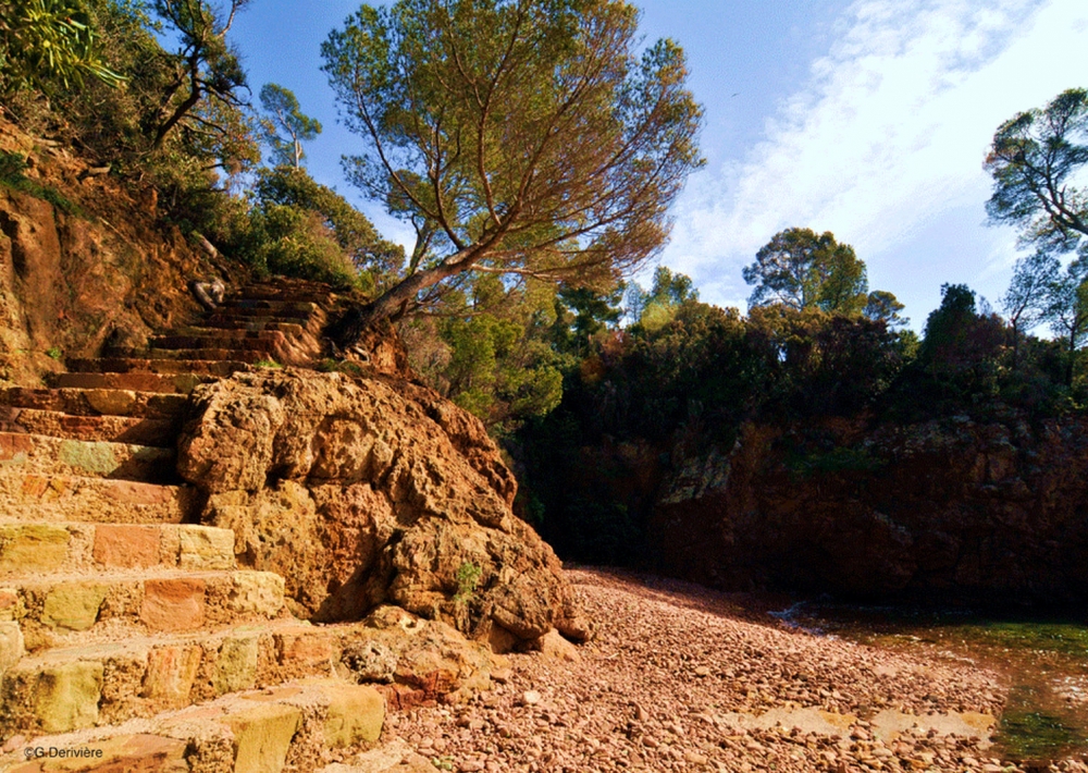
> ITINERARY
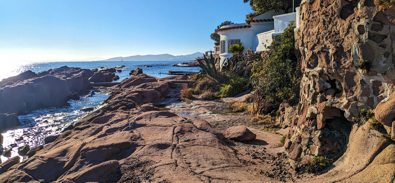
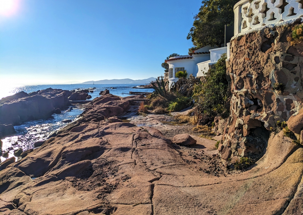
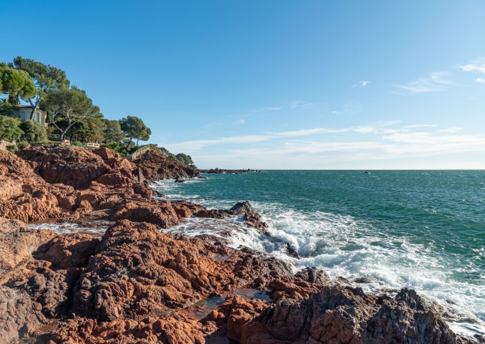
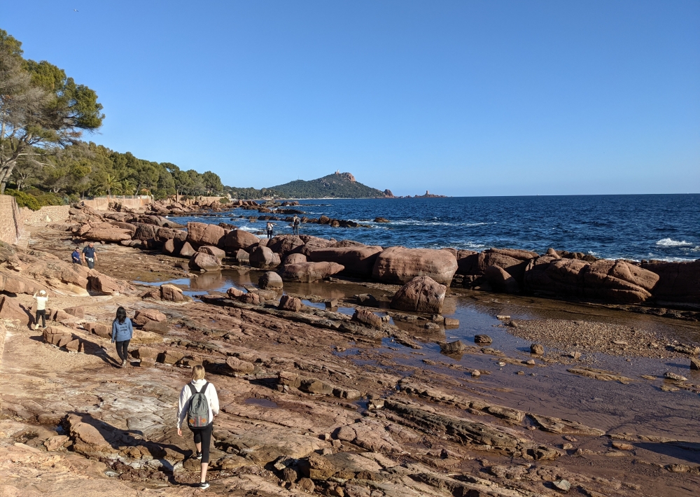
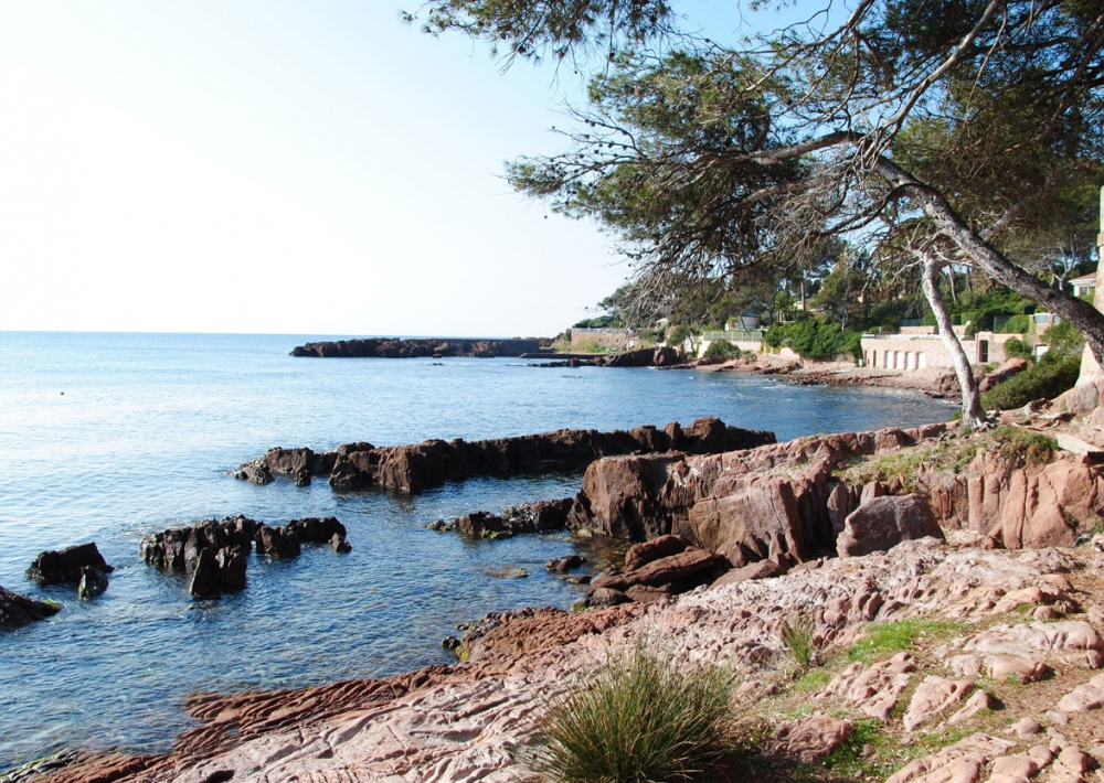
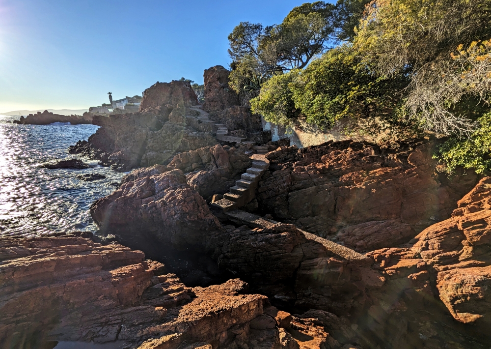
Follow the path (yellow markings). The path winds between the sea and the Massif de l'Estérel. After around 7 km, after the Plage de Pierre Blave beach, go to the side of the road to reach the Plage du Débarquement (a second World War landing beach), to rejoin the path. Finish the walk at Camp Long beach.
For the return journey, return to the road to take public transport.
You can enjoy sections of the trail without necessarily doing the whole thing. You can do sections (one way or return) such as Santa Lucia to La Péguière // from La Péguière to Port de Boulouris // from Port de Boulouris to Aigue-Bonne beach.
Please note that public transport is infrequent, so make sure to check timetables in advance.
- by TER train (St Raphaël, Boulouris, Dramont or Agay stations)
- By bus:
- route 21 (stops every 500 m on the RN98 between St Raphaël centre and Agay)
- line 8 (stops every 500 m on the RN98 between Boulouris and Agay)
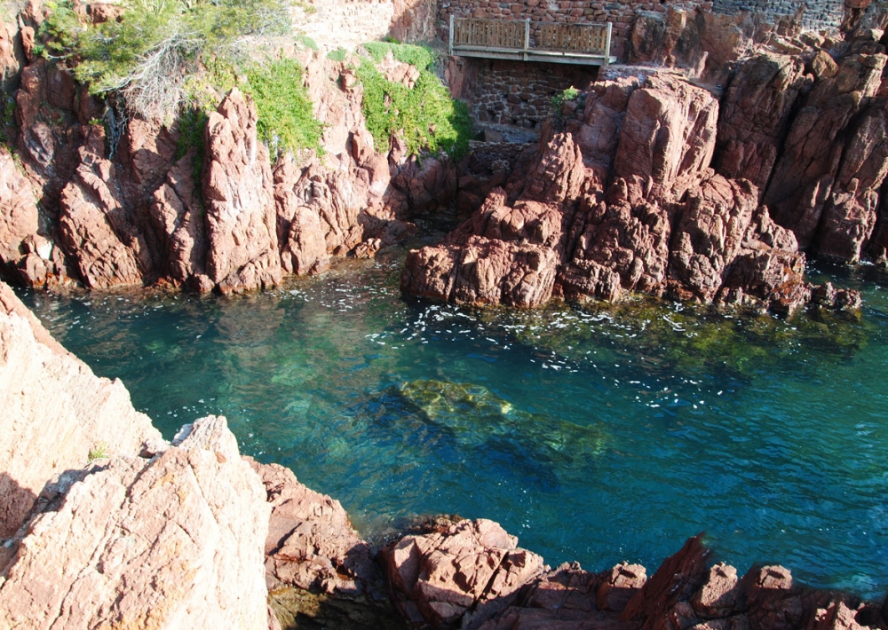
> Caution! Rocky paths requiring good equipment and close attention, especially on coastal rocks (which can be slippery).


