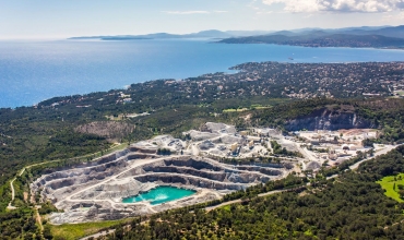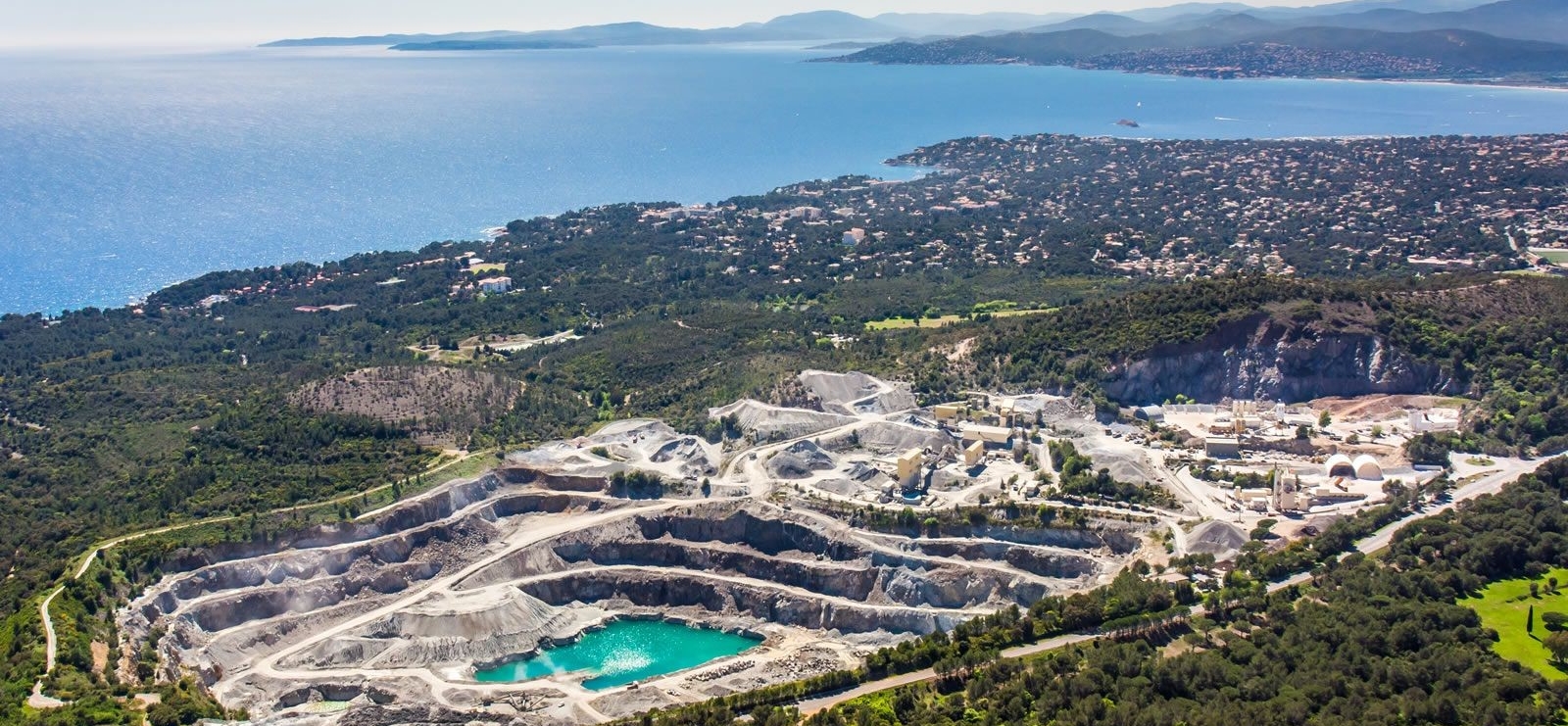
Vue aérienne
Carrière des Grands Caous
Company open to the public

Company tour ‘La Carrière des Grands Caous’

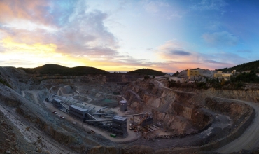
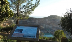
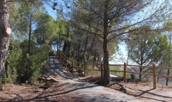
Located in the heart of the classified Estérel massif, the Grands Caous quarry invites you to discover its site via a secure landscaped path overlooking the quarry and offering panoramic views of the Gulf of Saint-Tropez.

Description

- Visit only by reservation with Sophie COUZINET by telephone (06 26 82 54 99) or by email (sophie.couzinet@eiffage.com)
- GPS coordinates of the site : 43.43301375573165, 6.822822913223387
- Additional services available : toilets, picnic tables, fridge, water fountain, coffee machine, documentation area, loan of binoculars, cloakroom
- Maximum number of visitors per guided tour : 10
- Animals must be kept on a leash
- The trail is not passable for wheelchairs and strollers
- On request : group visits (clubs, associations, etc.)
- On request : visit adapted for people with disabilities and for children
- On request : tour in English and Spanish

Discovery of the trail :
Located in the heart of the classified Estérel massif, the Grands Caous quarry invites you to discover its site via a secure landscaped path overlooking the quarry and offering you a panoramic view of the Gulf of Saint-Tropez.

During your visit, we will present to you the industrial, environmental and historical aspects of a site which has been exploiting a unique and remarkable rock since 1959: the blue porphyry of Estérel. You will be surprised by its modern facilities, its commitment to sustainable development and its actions in terms of biodiversity. Following on from « Carrières du Dramont » (1864/1959), we will introduce you to the quarry profession and the major historical events that are inextricably linked to it (Malpasset dam / Second World War).

An atypical visit, full of surprises and discoveries in a wonderful natural setting!

Estérel Côte d'Azur depending on your mood
Weather
Sea side
Today
-- °C Wind : -- km/h
Tomorrow
-- °C Wind : -- km/h
After tomorrow
-- °C Wind : -- km/h
Hinterland
Today
-- °C Wind : -- km/h
Tomorrow
-- °C Wind : -- km/h
After tomorrow
-- °C Wind : -- km/h
Water temperature
Fréjus -- °C
Saint-Raphaël -- °C
Les Issambres -- °C
+
-

Clic on areas to zoom in

Clear map
Dark map
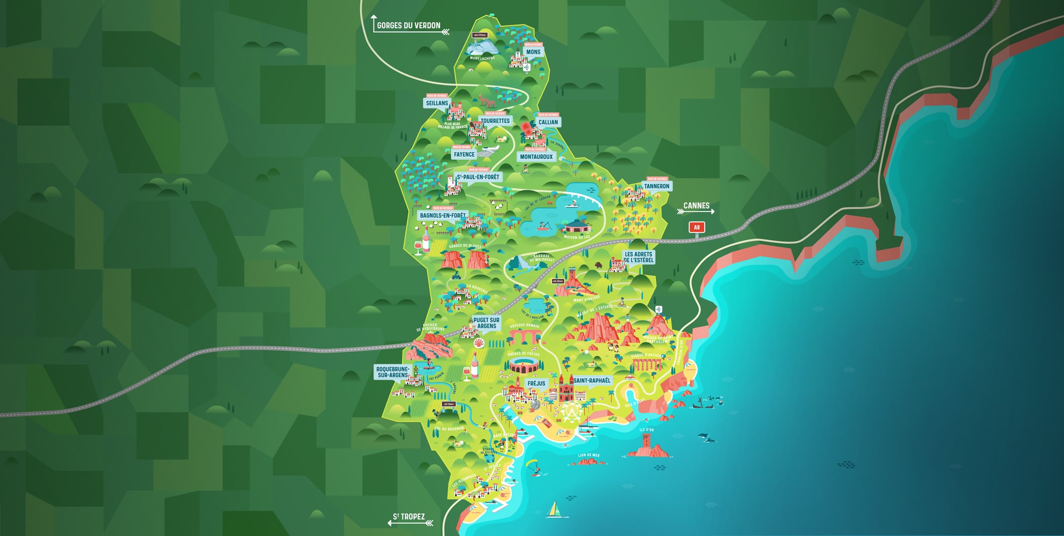
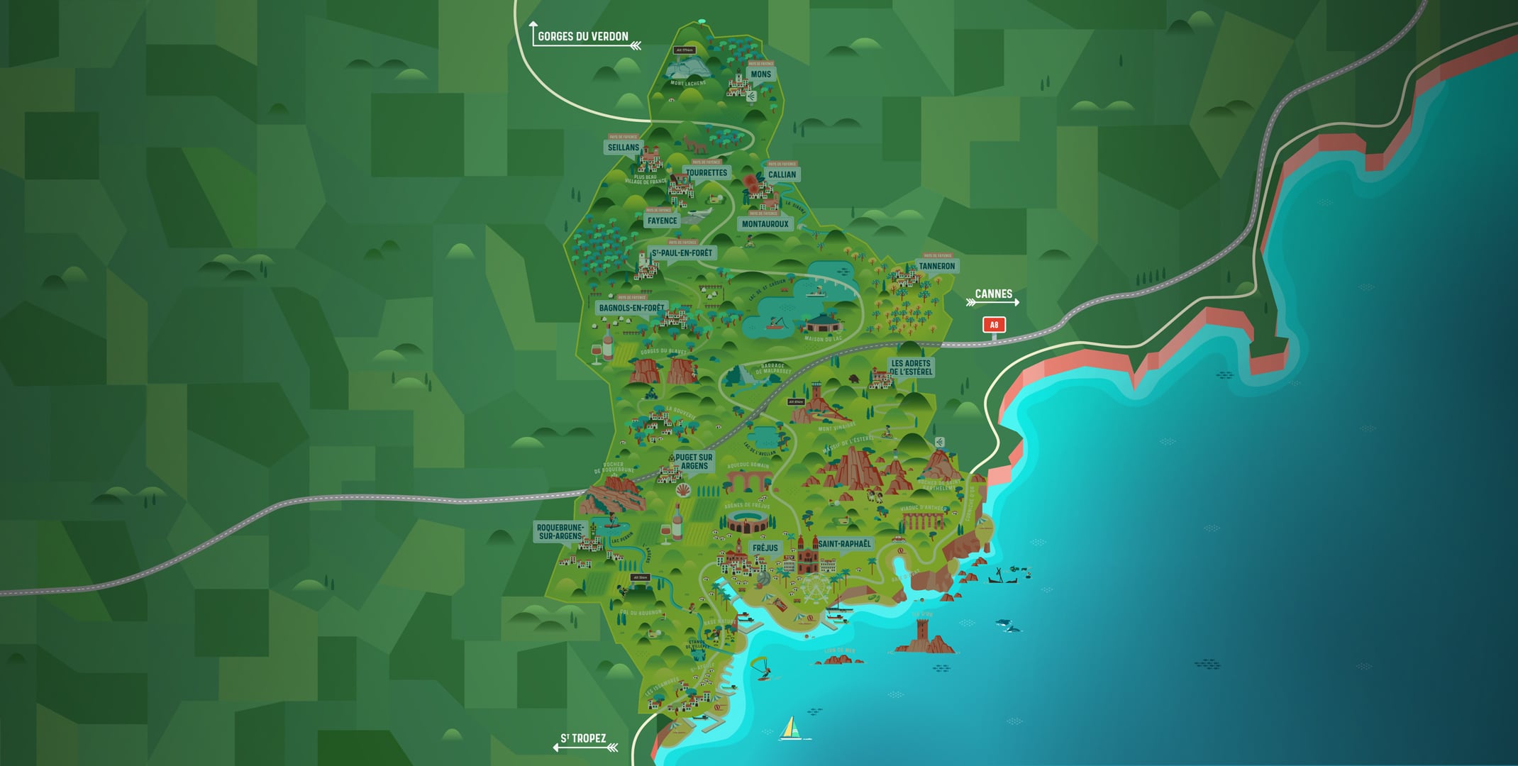
Map zone 1
Map zone 2
Map zone 3
Map zone 4
Map zone 5
Map zone 7
Map zone 6
Map zone 8
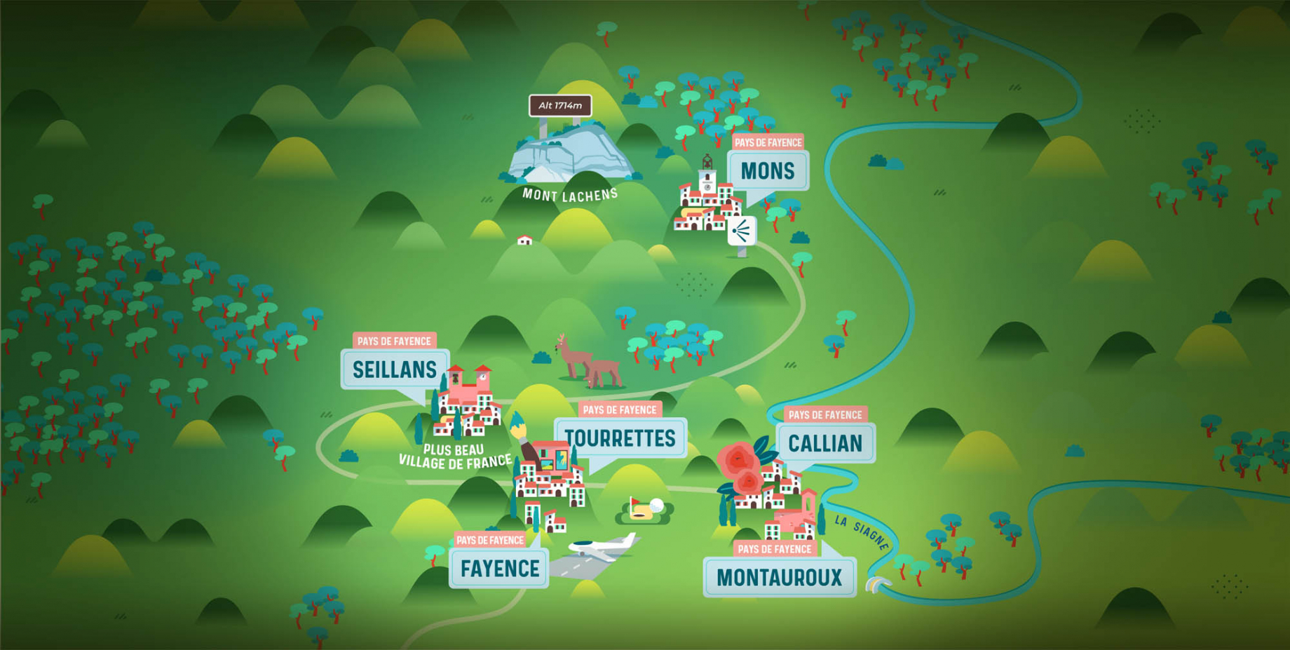
pays de fayence - nord

Fayence area

The Pays de Fayence (Fayence district) has many great provencal villages. All of them have a particularity such as the view from Mons or the artistic streets of Tourrettes. Do no forget to stop in Seillans that has the label of "Most beautiful village in France"

Go back to map
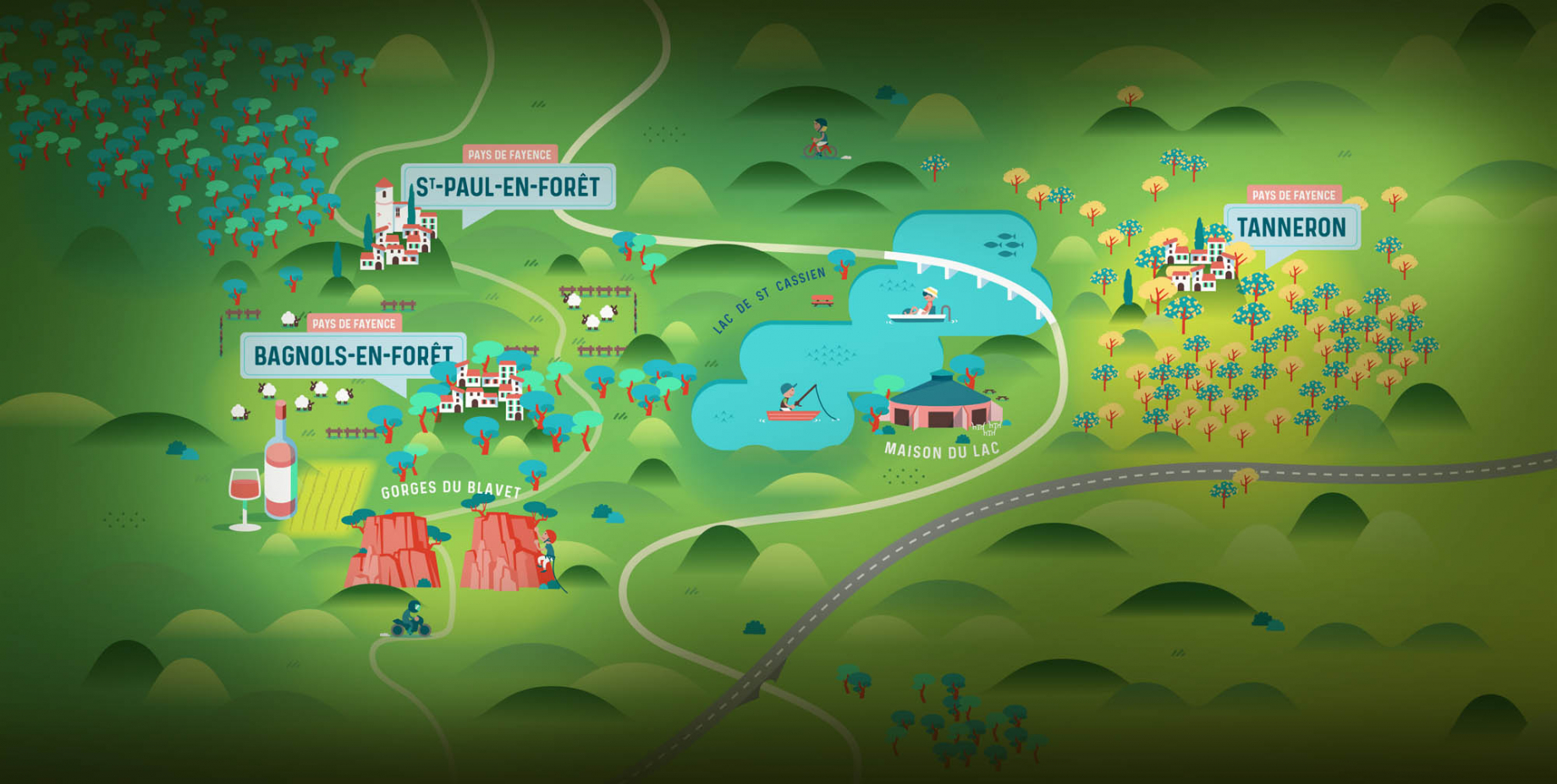
pays de fayence - sud

Fayence area

North of the A8 motorway, you will find the Pays de Fayence. Saint-Cassien lake, a real oasis of freshness in the Var, awaits you! Take a break at the Lake House before visiting the villages of Bagnols-en-Forêt, St-Paul-en-Forêt or Tanneron.

Go back to map
roquebrune sur argens - la bouverie

Roquebrune-sur-Argens

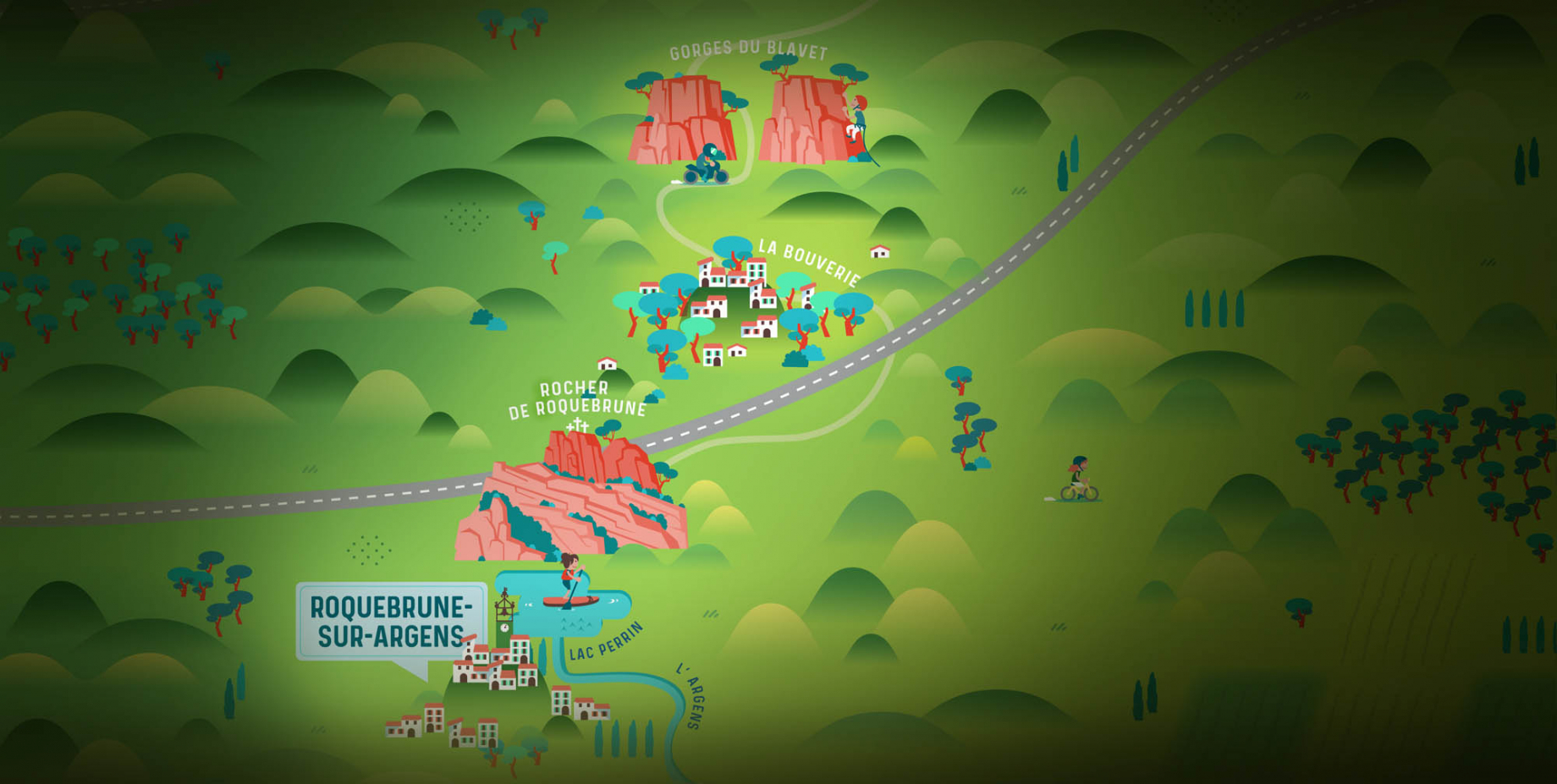
The city of Roquebrune-sur-Argens is the most westerly of the destination. It includes three districts: La Bouverie, at the foot of Gorges du Blavet; The village, overlooked by its magnificent rock, and Les Issambres, with its nautical activities by the sea.

Go back to map
les adrets de l'esterel

Les Adrets de l'Estérel

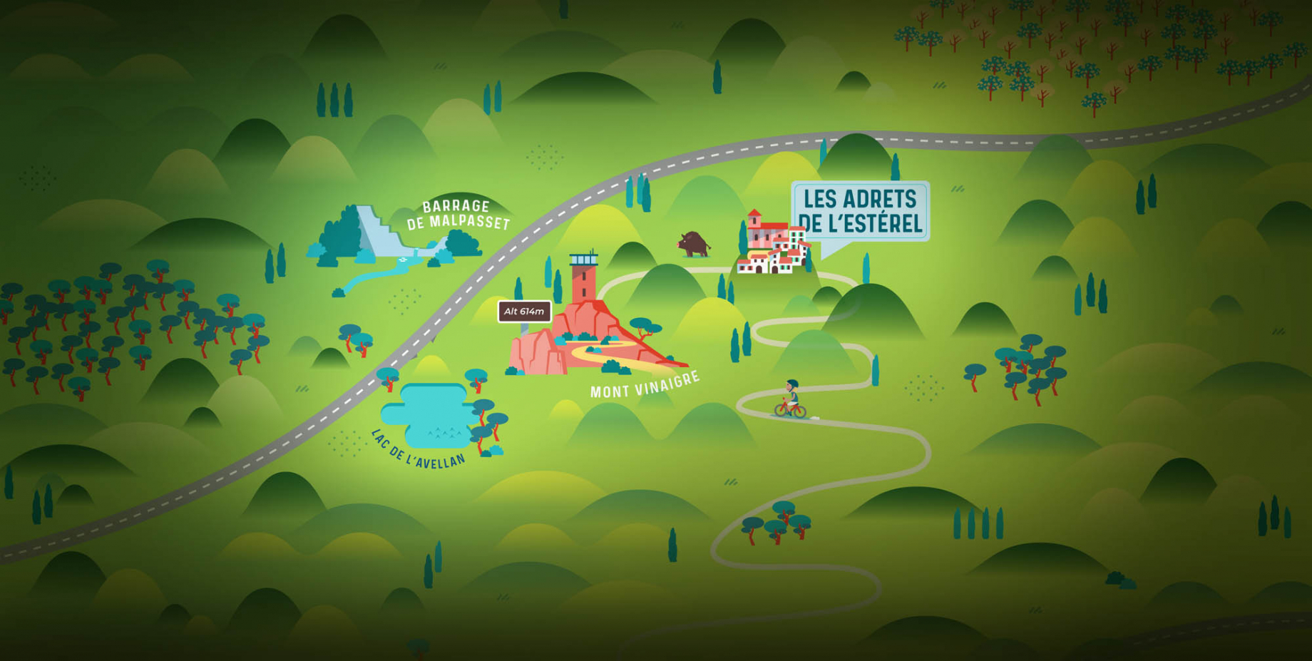
Les Adrets de l'Estérel is a small town located at the extreme southeastern Var. Bordering the Maritimes Alpes, it is composed of large green forests. The town overlooks the bay of Cannes and has an exceptional view on the Lérins Islands and the Corniche de l'Estérel.

Go back to map
village de puget sur argens

Puget sur Argens

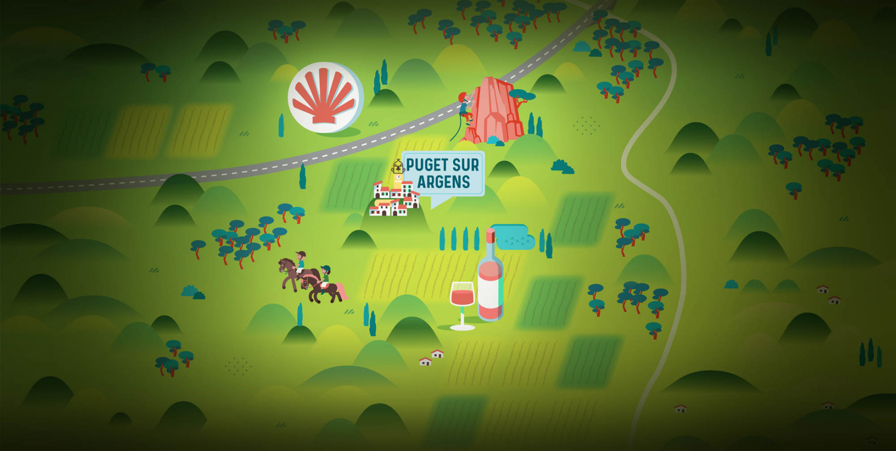
Puget sur Argens is a small village located in the middle of many wineries. Its commercial area, near the village, includes many shopping center. North of the village, the Bois du Defens give rise to several walks.

Go back to map
roquebrune-sur-argens - les issambres

Les Issambres

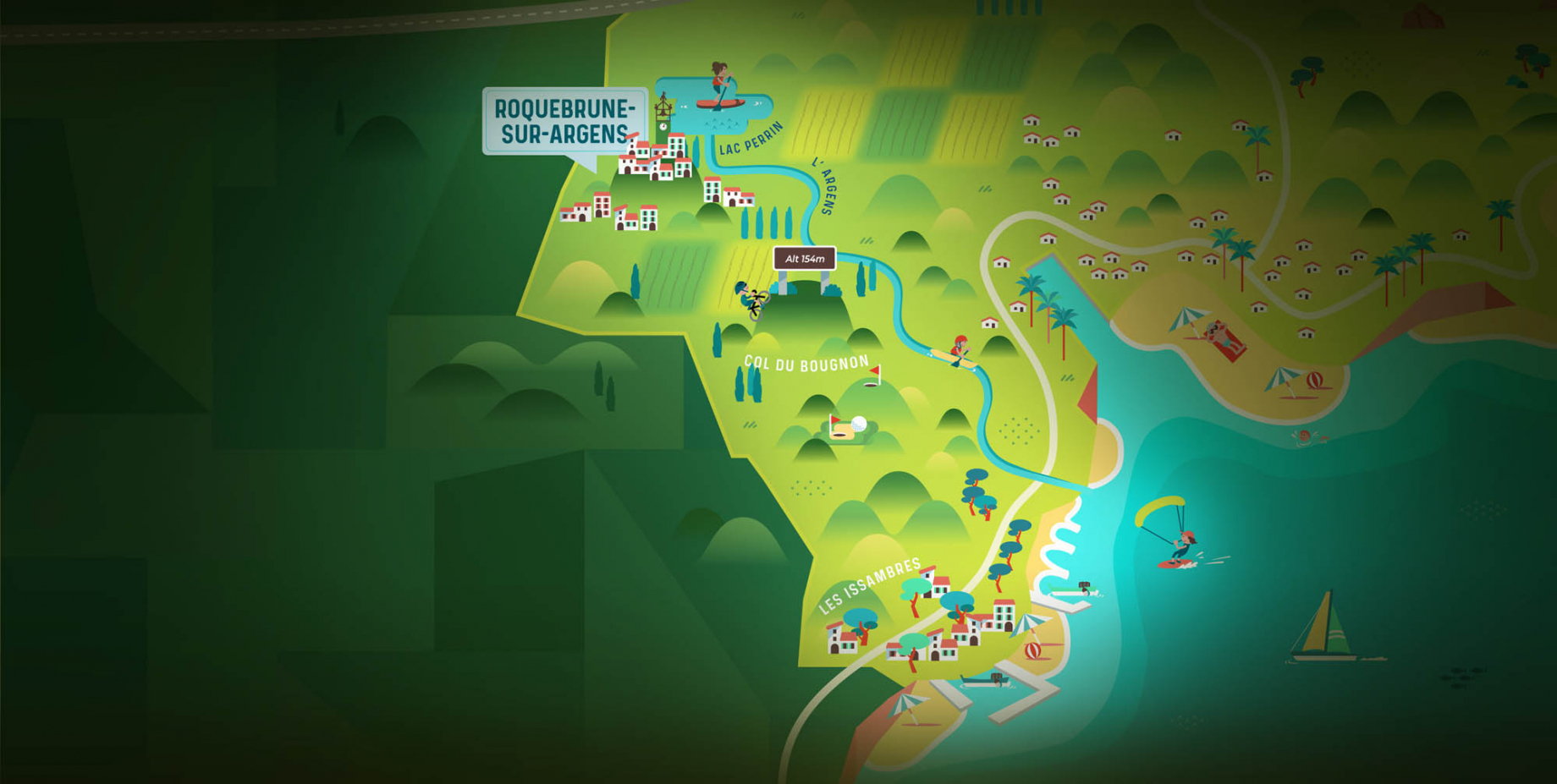
Welcome to Les Issambres, the district of Roquebrune-sur-Argens located on the coast. True paradise with its 8 km of beaches and creeks, this family seaside resort, already frequented at the time by the Romans, is located between the Gulf of Saint-Tropez and Fréjus-Saint Raphaël.

Go back to map
ville de frejus - saint-aygulf

Fréjus

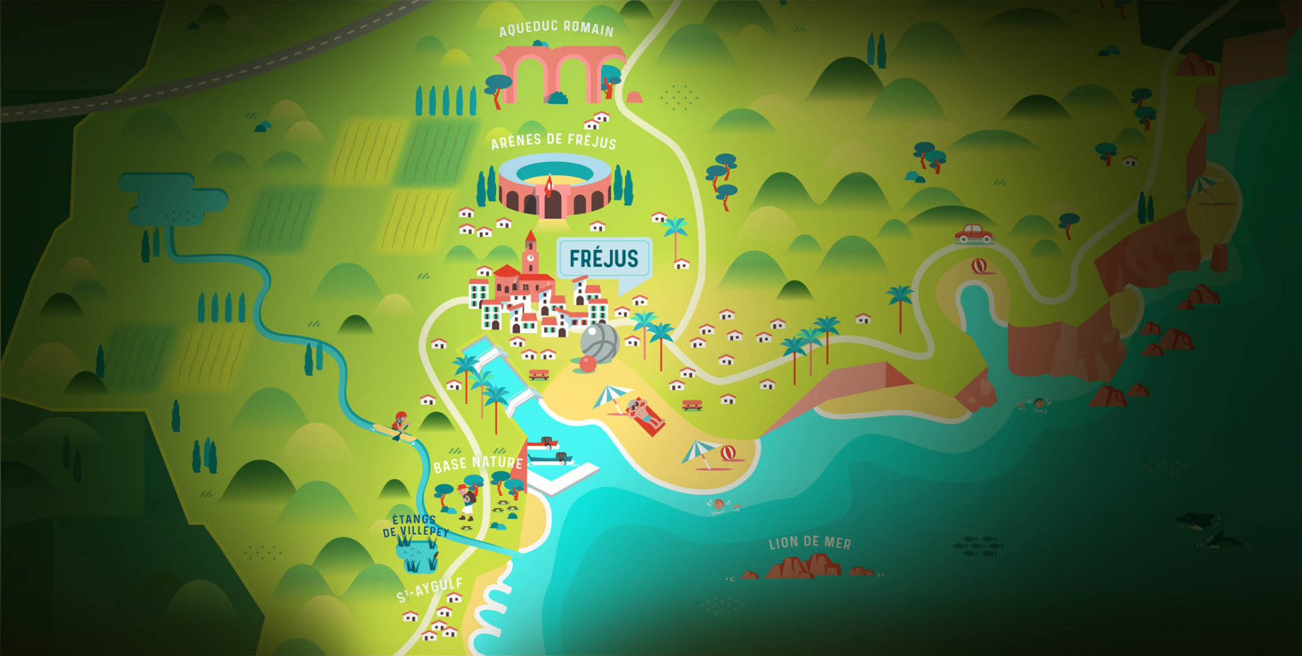
Frejus, located halfway between Cannes and Saint-Tropez, is at the heart of the Côte d'Azur. Based on a sandstone buttress of the Esterel massif, the town dominates the valleys of Argens and Reyran. Frejus has the appearance of a small Provencal town whose new districts extend to the sea.

Go back to map
saint-raphael - massif de l'esterel

Saint-Raphaël

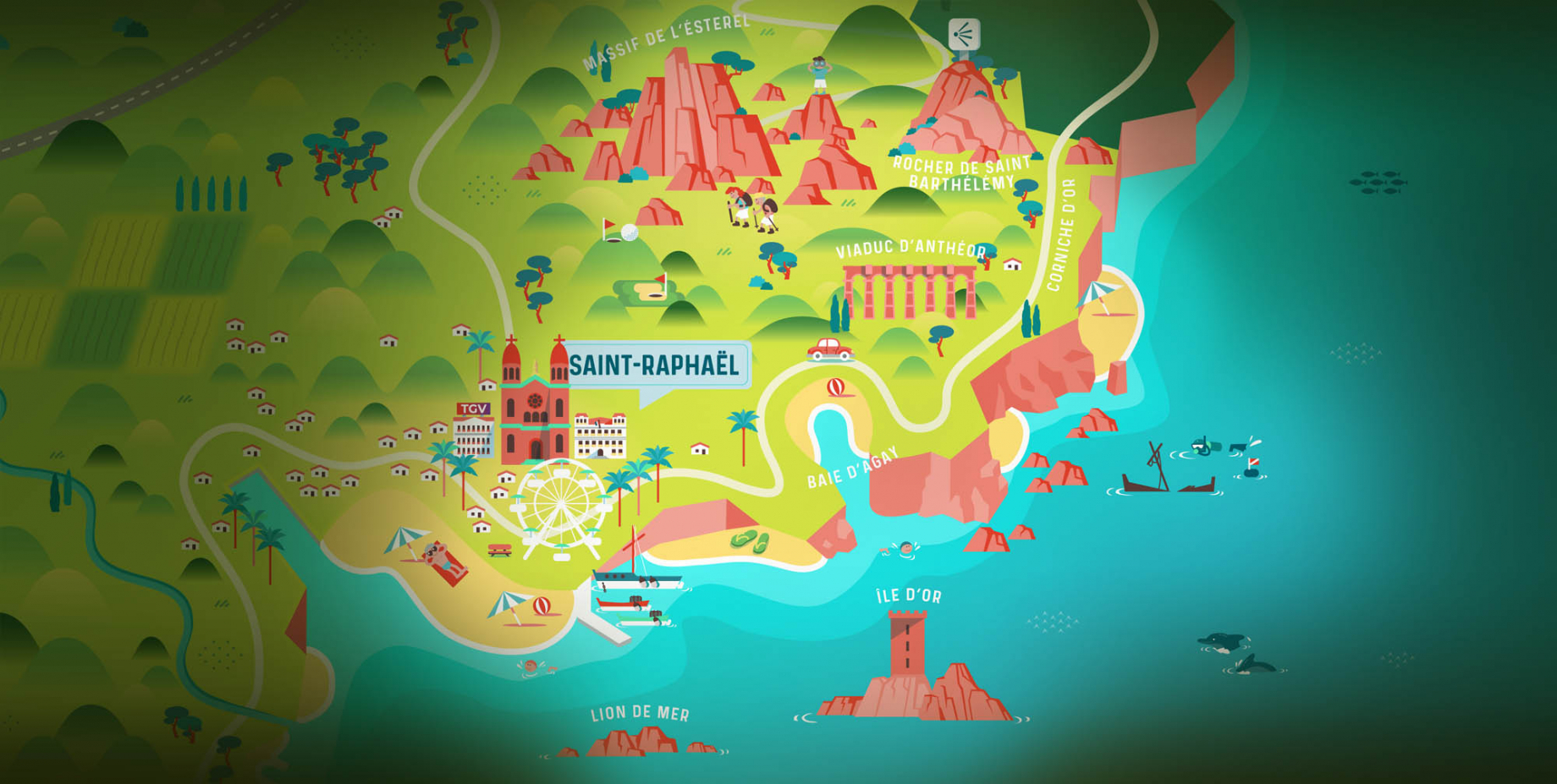
65km from Nice Côte d'Azur International Airport, Saint-Raphaël is located between Cannes and Saint-Tropez. This seaside resort on the Mediterranean coast is at the bottom of the great Esterel mountains. Saint Raphael, whose city center is by the sea, is divided into different neighborhoods that have all their characteristics and their personalities.

Go back to map
Fayence areaFayence areaRoquebrune-sur-ArgensLes Adrets de l'EstérelPuget sur ArgensLes IssambresFréjusSaint-Raphaël
Webcams
Subscribe to our newsletter