Description
- Visit only by reservation with Sophie COUZINET by telephone (06 26 82 54 99) or by email (sophie.couzinet@eiffage.com)
- GPS coordinates of the site : 43.43301375573165, 6.822822913223387
- Additional services available : toilets, picnic tables, fridge, water fountain, coffee machine, documentation area, loan of binoculars, cloakroom
- Maximum number of visitors per guided tour : 10
- Animals must be kept on a leash
- The trail is not passable for wheelchairs and strollers
- On request : group visits (clubs, associations, etc.)
- On request : visit adapted for people with disabilities and for children
- On request : tour in English and Spanish
Discovery of the trail :
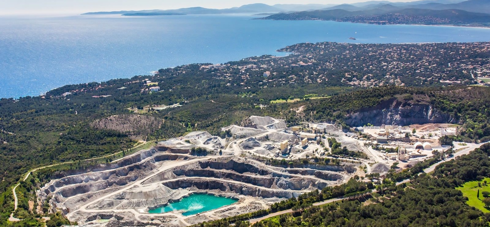
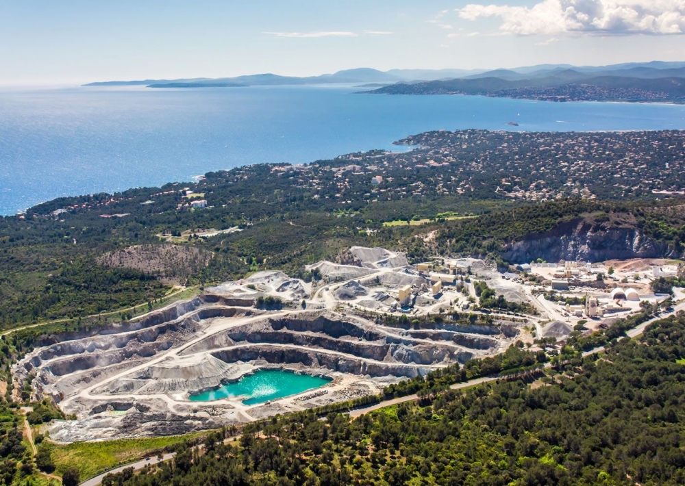
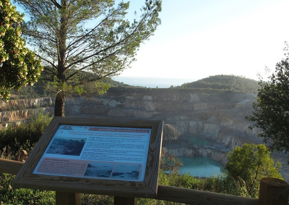
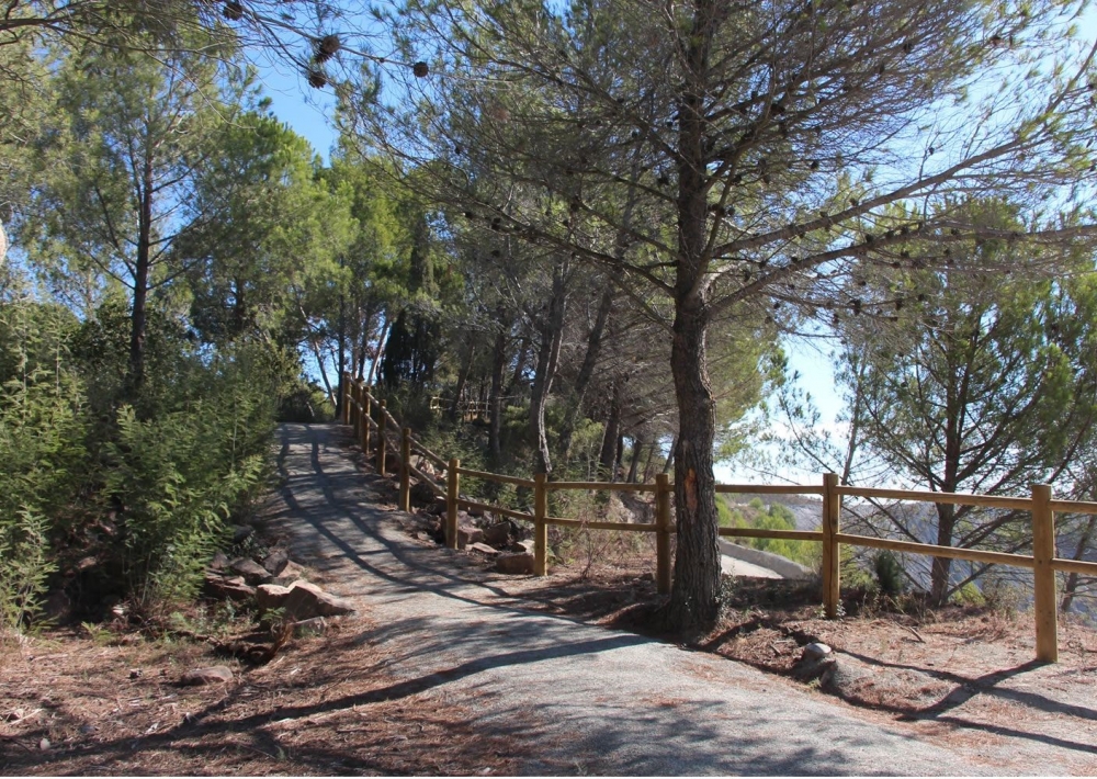
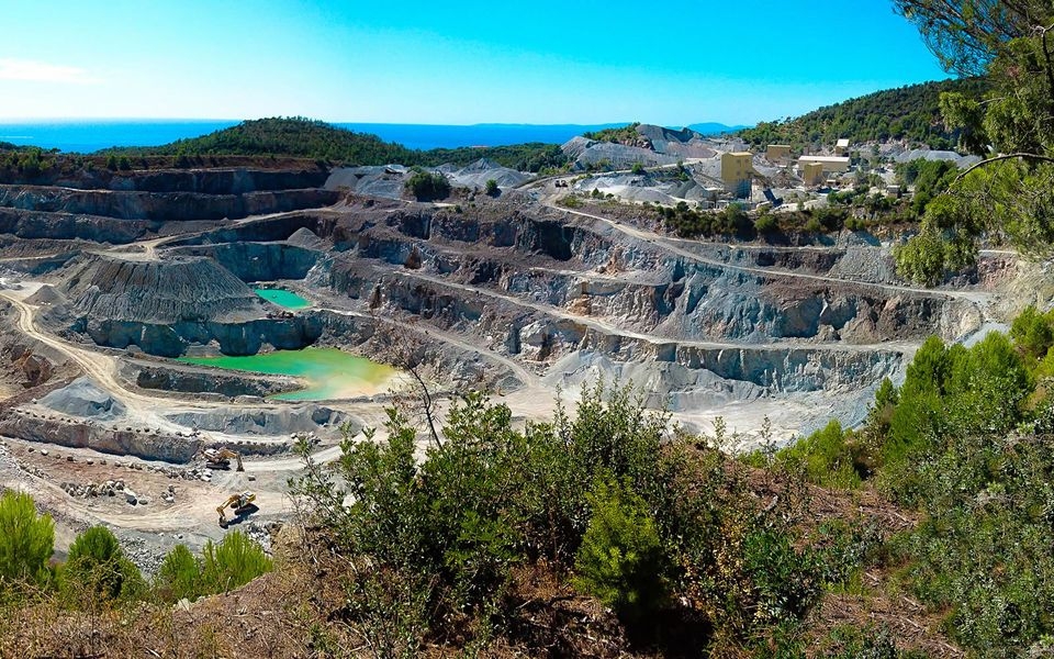
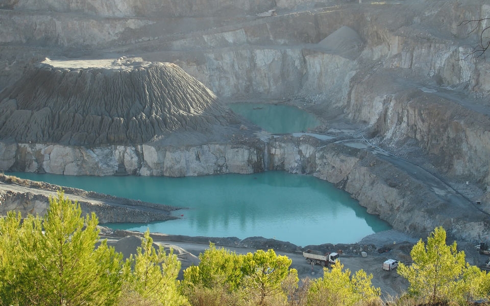
Located in the heart of the classified Estérel massif, the Grands Caous quarry invites you to discover its site via a secure landscaped path overlooking the quarry and offering you a panoramic view of the Gulf of Saint-Tropez.
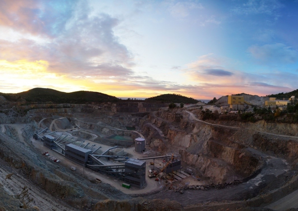
During your visit, we will present to you the industrial, environmental and historical aspects of a site which has been exploiting a unique and remarkable rock since 1959: the blue porphyry of Estérel. You will be surprised by its modern facilities, its commitment to sustainable development and its actions in terms of biodiversity. Following on from « Carrières du Dramont » (1864/1959), we will introduce you to the quarry profession and the major historical events that are inextricably linked to it (Malpasset dam / Second World War).
An atypical visit, full of surprises and discoveries in a wonderful natural setting!


